Inca-Caranqui, Ibarra
Map
Map

Facts and practical information
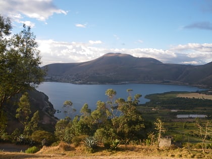
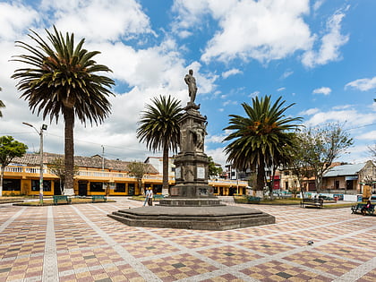
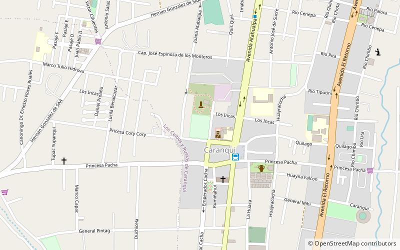
The Inca-Caranqui archaeological site is located in the village of Caranqui on the southern outskirts of the city of Ibarra, Ecuador. The ruin is located in a fertile valley at an elevation of 2,299 metres. The region around Caranqui, extending into the present day country of Colombia, was the northernmost outpost of the Inca Empire and the last to be added to the empire before the Spanish conquest of 1533. The archaeological region is also called the Pais Caranqui. ()
Coordinates: 0°19'27"N, 78°7'28"W
Address
Ibarra
ContactAdd
Social media
Add
Day trips
Inca-Caranqui – popular in the area (distance from the attraction)
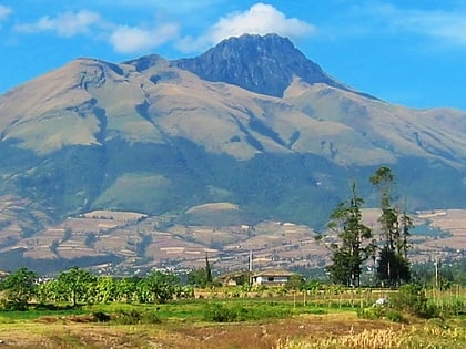
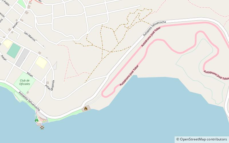
Nearby attractions include: Imbabura Volcano, San Antonio de Ibarra, Yawarkucha, Autodromo Internacional de Yahuarcocha.
