Salinas de Guaranda

Gallery (1)
Map
Map
Facts and practical information
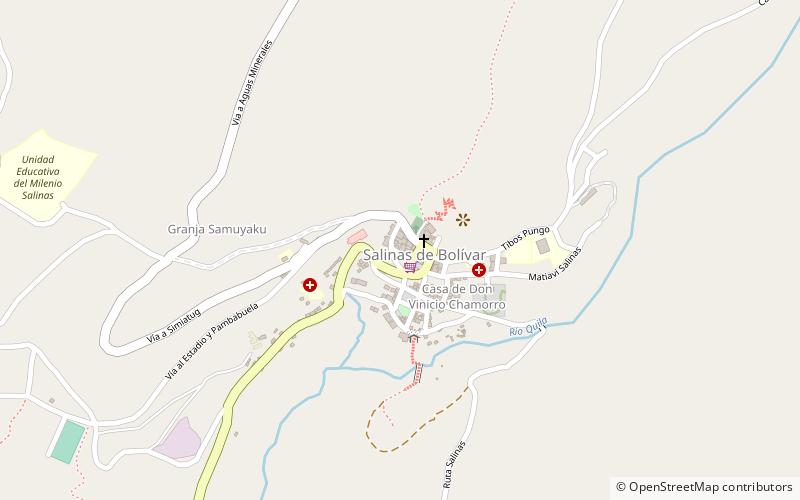
Salinas de Guaranda, also known as Salinas de Tomabela, is an Ecuadorian village whose name derives from the salt mines that drove its economy prior to the 1970s. It is located at an altitude of 3,500 metres in the Andes in the province of Bolivar and its history began long before the Spanish conquest, the first inhabitants were Tomabelas tribe, Chimbus tribe and Simiatug tribe. ()
Location
Bolivar
ContactAdd
Social media
Add