El Pital

Gallery (2)
Map
Map
Gallery
Facts and practical information
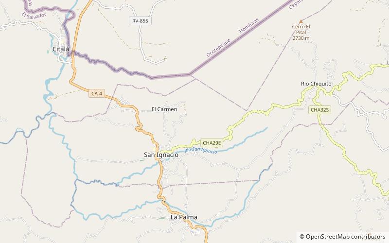
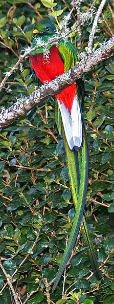
Cerro El Pital is a mountain in Central America, on the border of El Salvador and Honduras. It is located 12 km from the town of La Palma at a height of 2,730 m above sea level, and is the highest point in Salvadoran territory and the third from Honduras. Cerro El Pital is in the middle of a cloud forest that has an average annual temperature of 10 °C. ()
Location
Chalatenango
ContactAdd
Social media
Add
Day trips
El Pital – popular in the area (distance from the attraction)
Nearby attractions include: La Palma.
