Bosque Conchagua
Map
Map

Facts and practical information
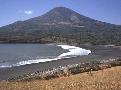
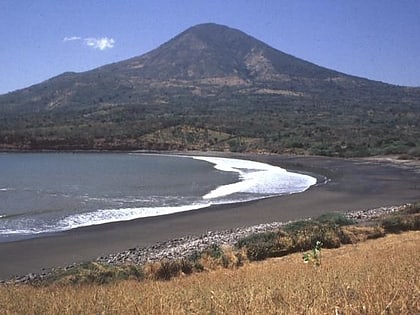
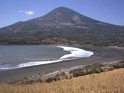
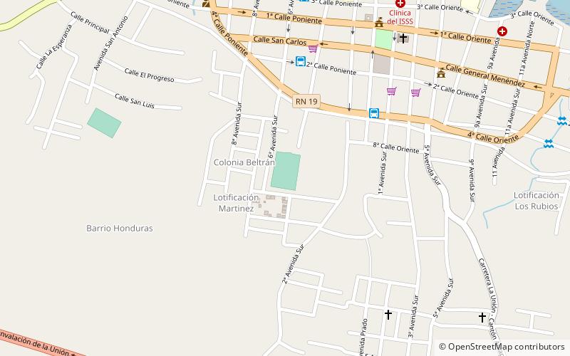
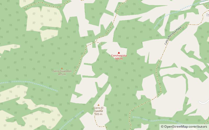
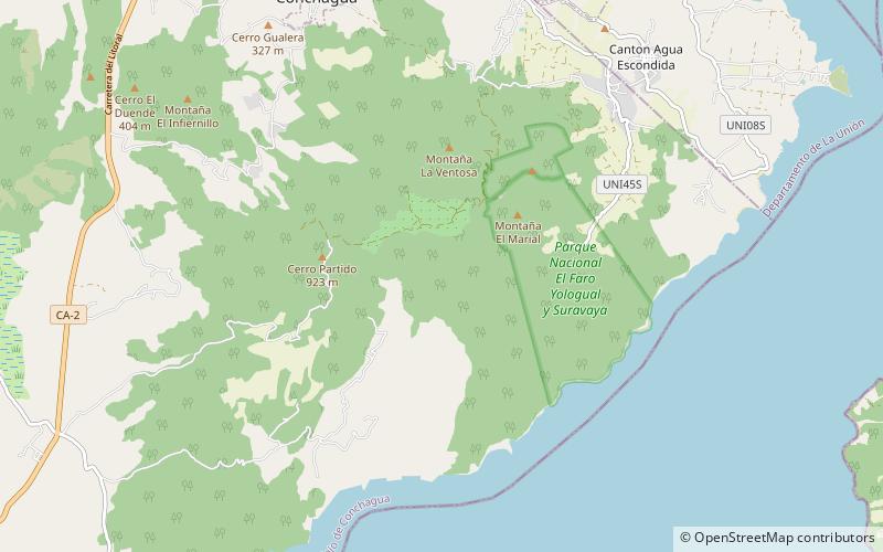
Bosque Conchagua is a coastal forest of the La Unión Department, southeastern El Salvador. It forms the landscape around the Conchagua volcano. It lies south of La Unión, opposite Isla Conchaguita and the Gulf of Fonseca. ()
Coordinates: 13°15'52"N, 87°50'35"W
Location
La Unión
ContactAdd
Social media
Add
Day trips
Bosque Conchagua – popular in the area (distance from the attraction)
Nearby attractions include: Conchagua Volcano, Conchagua Volcano, Parque Central de Conchagua, Estadio Marcelino Imbers.
