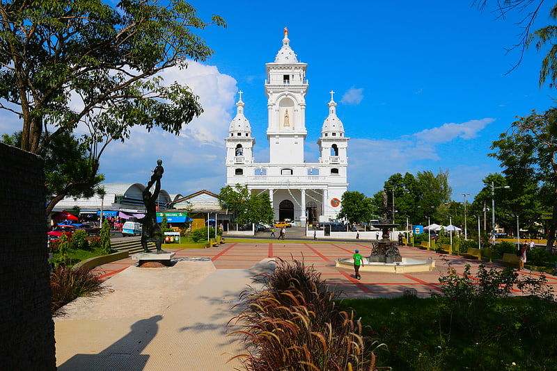
Fuente de Neptuno, Zacatecoluca
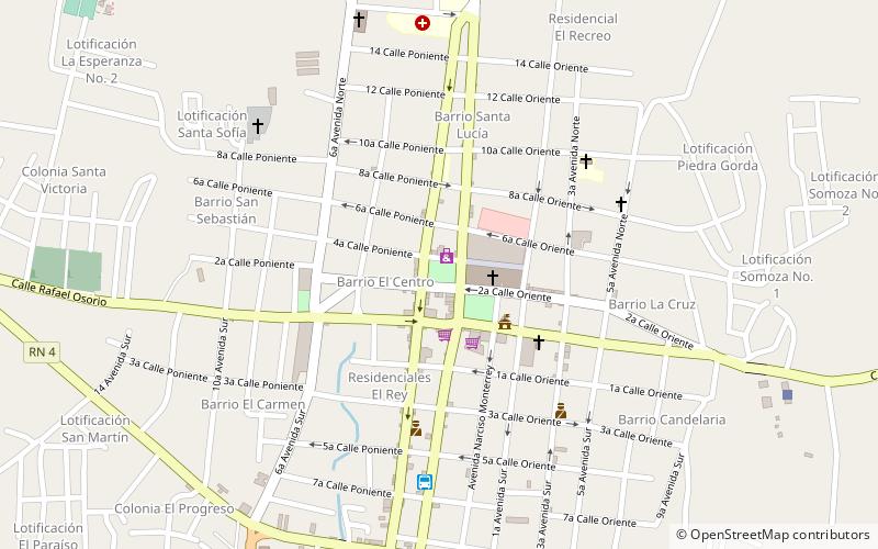
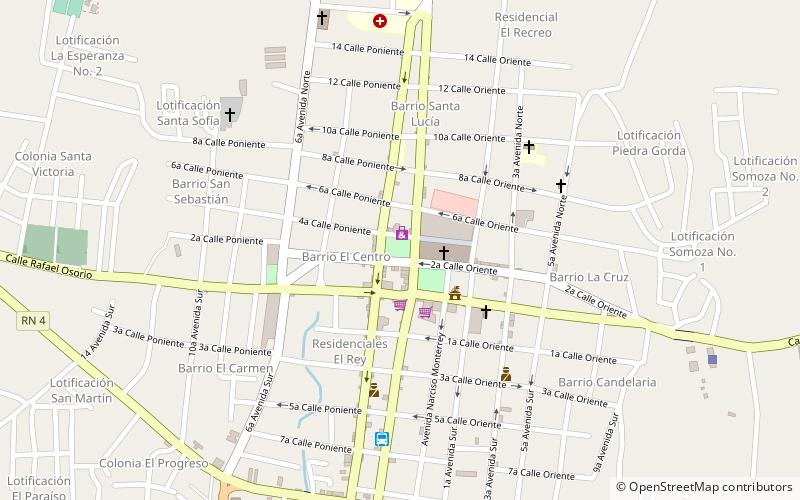
Map
Facts and practical information
Fuente de Neptuno is a place located in Zacatecoluca (La Paz department) and belongs to the category of fountain.
It is situated at an altitude of 689 feet, and its geographical coordinates are 13°30'32"N latitude and 88°52'14"W longitude.
Among other places and attractions worth visiting in the area are: Parque Jose Simeon Cañas (park, 1 min walk), Our Lady of the Poor Cathedral (church, 2 min walk), Estadio Antonio Toledo Valle (sport, 19 min walk).
Coordinates: 13°30'32"N, 88°52'14"W
Address
Zacatecoluca
ContactAdd
Social media
Add
Day trips

Frequently Asked Questions (FAQ)
Which popular attractions are close to Fuente de Neptuno?
Nearby attractions include Parque Jose Simeon Cañas, Zacatecoluca (1 min walk), Our Lady of the Poor Cathedral, Zacatecoluca (2 min walk).