Cordillera de Apaneca

Gallery (2)
Map
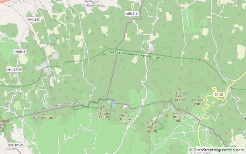
Map
Gallery
Facts and practical information
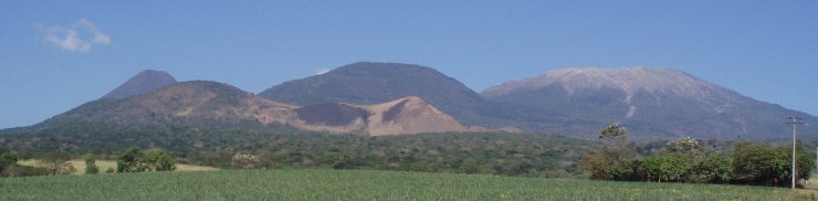
Cordillera de Apaneca is a volcanic mountain range in western El Salvador. It consists mainly of volcanoes. Ilamatepec volcano, one of the most active in the region, is a part of this range. ()
Location
Ahuachapán
ContactAdd
Social media
Add
Day trips