San Carlos, Bioko

Map
Facts and practical information
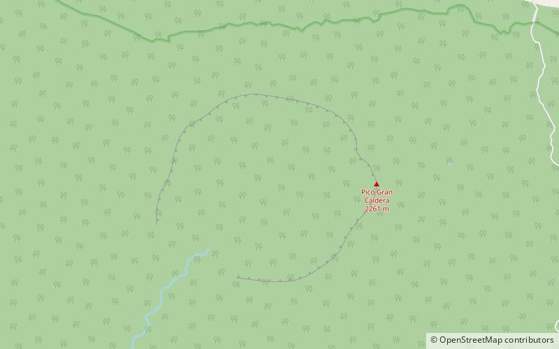
San Carlos is a basaltic shield volcano with a broad summit caldera on the island of Bioko, Equatorial Guinea. With an elevation of 2,261 metres above sea level it is the second highest peak in Equatorial Guinea. ()
Local name: Volcán San Carlos Elevation: 7418 ftProminence: 5049 ftCoordinates: 3°21'37"N, 8°30'58"E
Address
Bioko
ContactAdd
Social media
Add
Day trips
San Carlos – popular in the area (distance from the attraction)
Nearby attractions include: Luba Crater Scientific Reserve.
