Punta Santiago, Bioko
Map

Map

Facts and practical information
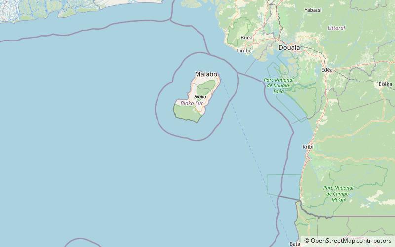
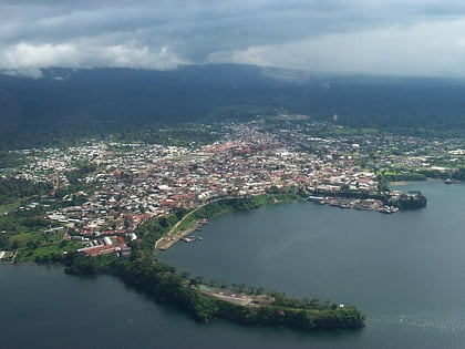
Bioko is an island 32 km off the west coast of Africa and the northernmost part of Equatorial Guinea. Its population was 335,048 at the 2015 census and it covers an area of 2,017 km2. The island is located off the Ambazonian segment of Cameroon, in the Bight of Biafra portion of the Gulf of Guinea. Its geology is volcanic; its highest peak is Pico Basile at 3,012 m. Malabo, on the north coast of the island, is the capital city of Equatorial Guinea. ()
Address
Bioko
ContactAdd
Social media
Add
