Mullutu-Suurlaht, Saaremaa

Map
Facts and practical information
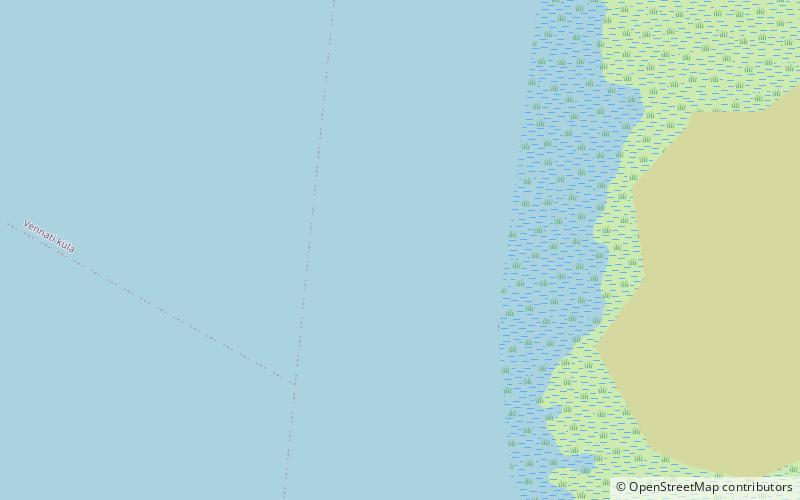
Mullutu-Suurlaht is the fourth largest lake in Estonia. It is located on the island of Saaremaa, about 2 kilometres west of the town of Kuressaare. It has an area of 1,440 ha and the max. depth is 2.1 metres. Mullutu-Suurlaht is a brackish waterbody that consists of two parts: ()
Alternative names: Area: 3.71 mi²Maximum depth: 7 ftElevation: 0 ft a.s.l.Coordinates: 58°15'5"N, 22°21'27"E
Address
Saaremaa
ContactAdd
Social media
Add
Day trips
Mullutu-Suurlaht – popular in the area (distance from the attraction)
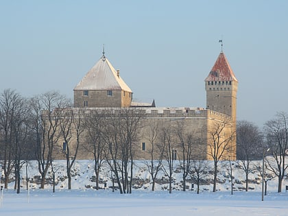
Nearby attractions include: Kuressaare Castle, Järve Dunes Landscape Conservation Area, West Estonian Archipelago Biosphere Reserve, Mändjala Kämping.


