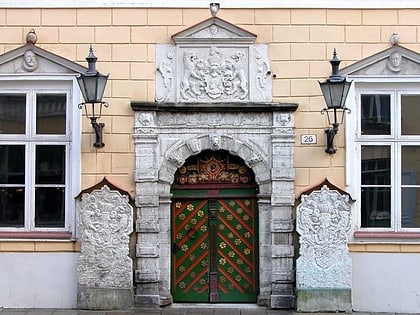
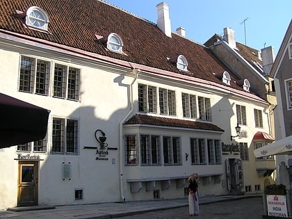
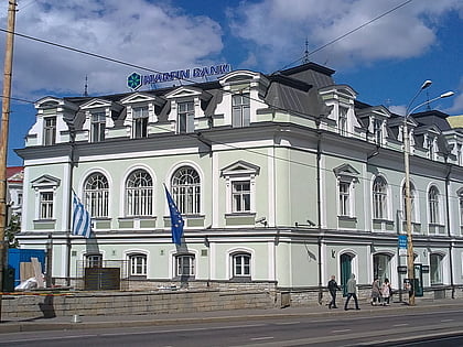
Kesklinn, Tallinn
Map
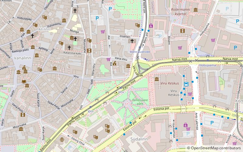
Map

Facts and practical information
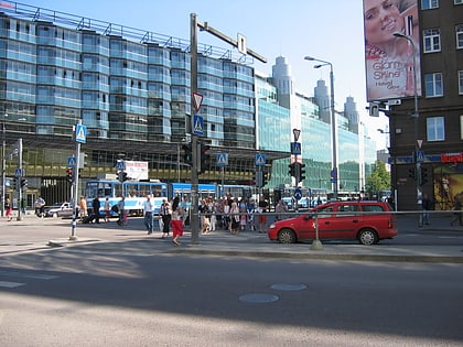
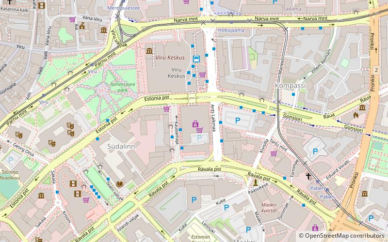
Kesklinn is one of the 8 administrative districts of Tallinn, the capital of Estonia. It is situated on the Tallinn Bay and bordered to the northwest by the district of Põhja-Tallinn, to the west by Kristiine, to the southwest by Nõmme, to the east by Lasnamäe and Pirita, and to the south by Rae Parish, beyond Lake Ülemiste. The island of Aegna, located in the Tallinn Bay, also falls within this administrative district. Kesklinn has an area of 30.6 km2 and a population of 57,731; population density is 1,886.6/km2. ()
Day trips
Kesklinn – popular in the area (distance from the attraction)
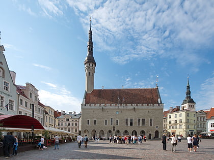
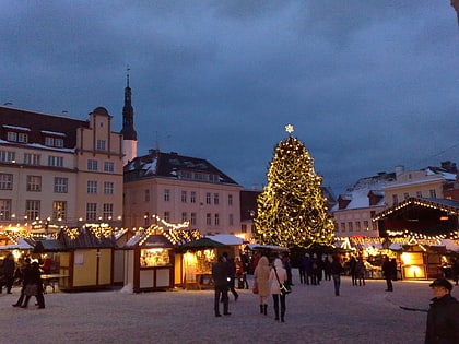
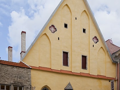
Nearby attractions include: Foorum, City Hall, City Museum, Jõuluturg.
Frequently Asked Questions (FAQ)
Which popular attractions are close to Kesklinn?
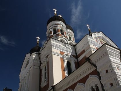
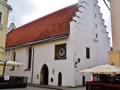
Nearby attractions include Viru Square, Tallinn (3 min walk), St Peter and St Paul's Cathedral, Tallinn (4 min walk), Estonia Theatre, Tallinn (4 min walk), Dominican Monastery Museum, Tallinn (4 min walk).
How to get to Kesklinn by public transport?
The nearest stations to Kesklinn:
Bus
Tram
Trolleybus
Light rail
Ferry
Bus
- Viru • Lines: 108, 129, 14E, 18, 18A, 20, 20A, 21, 21B, 36, 40, 41, 41B, 48, 5, 73 (2 min walk)
- Mere puiestee • Lines: 21, 21B, 3, 41, 41B, 73 (3 min walk)
Tram
- Viru • Lines: 3, 4 (2 min walk)
- Mere puiestee • Lines: 1, 2 (3 min walk)
Trolleybus
- Kaubamaja • Lines: T1, T3 (5 min walk)
- Estonia • Lines: T1, T3 (6 min walk)
Light rail
- Tallinn Baltic station • Lines: Elron Aegviidu --> Tallinn, Elron Kloogaranna --> Tallinn, Elron Paldiski --> Tallinn, Elron Riisipere --> Tallinn, Elron Tallinn --> Aegviidu, Elron Tallinn --> Kloogaranna, Elron Tallinn --> Paldiski, Elron Tallinn --> Riisipere (16 min walk)
- Lilleküla • Lines: Elron Kloogaranna --> Tallinn, Elron Paldiski --> Tallinn, Elron Riisipere --> Tallinn, Elron Tallinn --> Kloogaranna, Elron Tallinn --> Paldiski, Elron Tallinn --> Riisipere (31 min walk)
Ferry
- Tallinn • Lines: Tallink (21 min walk)

