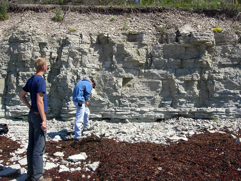
Panga cliff, Saaremaa

Gallery (2)
Map
Map
Gallery
Facts and practical information
Panga Cliff is a coastal cliff located on the northern shore of Saaremaa, at the end of the Kuressaare - Võhma road, close to Panga village. It is the highest of the Saaremaa and Muhu cliffs, reaching a height of 20 meters. The entire cliff is approximately 2.5 km long. ()
Address
Saaremaa
ContactAdd
Social media
Add
Day trips