Hara Island

Gallery (1)
Map
Map
Facts and practical information
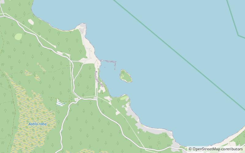
Hara is a small uninhabited island off the northern coast of Estonia in the Gulf of Finland with an area of 11 hectares. The highest point of the island is 13 meters above the sea level. ()
Local name: Hara saar Area: 27.18 acres (0.0425 mi²)Maximum elevation: 43 ftCoordinates: 59°35'3"N, 25°37'30"E
Location
Harju
ContactAdd
Social media
Add
Day trips


