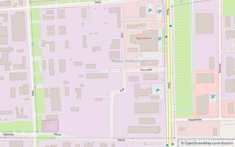
Ropka industrial district, Tartu

Gallery (1)
Map
Map
Facts and practical information
Address
Tartu
ContactAdd
Social media
Add
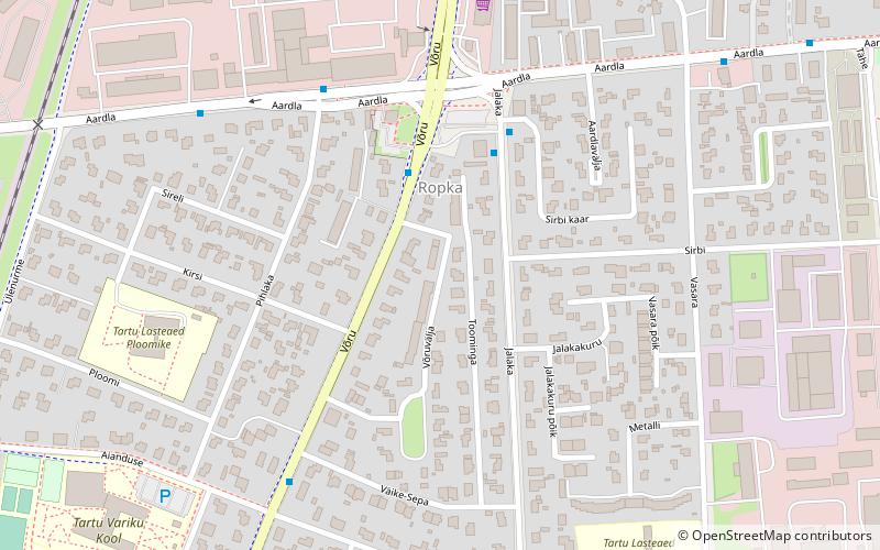
Getting there by public transportation
Public transportation stops near this location
- Bus
- Train
 Bus
Bus
- Calculate routeSepa turg 5 min walk
- Calculate routeVangla 6 min walk
- Calculate routeKarete 14 min walk
- Calculate routeJalaka 16 min walk
- Calculate routeKirsi 27 min walk
Day trips


Frequently Asked Questions (FAQ)
How to get to Ropka industrial district by public transport?
The nearest stations to Ropka industrial district:
Bus
Train
Bus
- Sepa turg • Lines: 13 (5 min walk)
- Vangla • Lines: 13 (6 min walk)
Train
- Kirsi (27 min walk)