St. Paul’s Church, Viljandi
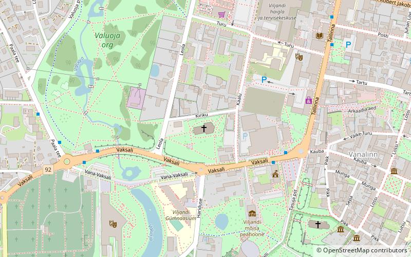
Map

Map

Facts and practical information
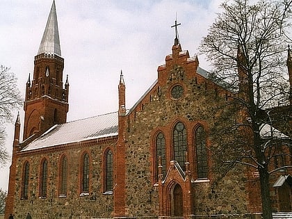
St. Paul’s Church (address: Kiriku 3) is a place located in Viljandi (Viljandi county) and belongs to the category of church.
It is situated at an altitude of 295 feet, and its geographical coordinates are 58°21'51"N latitude and 25°35'30"E longitude.
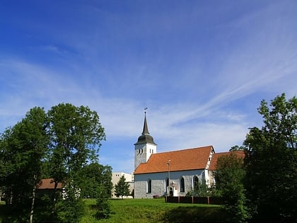
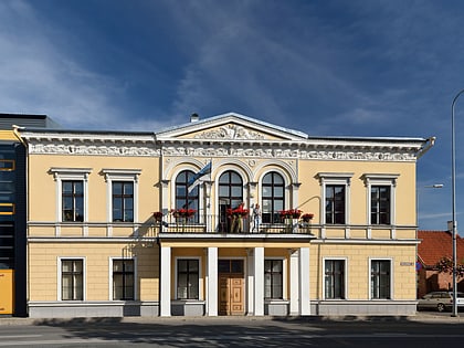
Among other places and attractions worth visiting in the area are: University of Tartu Viljandi Culture Academy (universities and schools, 4 min walk), Ugala (concerts and shows, 6 min walk), Viljandi St. Johan`s Church (church, 6 min walk).
Coordinates: 58°21'51"N, 25°35'30"E
Address
Kiriku 3Viljandi 71012
Contact
+372 433 4369
Social media
Add
Day trips
St. Paul’s Church – popular in the area (distance from the attraction)
Nearby attractions include: Viljandi Castle, Ugala, Lake Viljandi, UKU Keskus.
Frequently Asked Questions (FAQ)
Which popular attractions are close to St. Paul’s Church?
Nearby attractions include University of Tartu Viljandi Culture Academy, Viljandi (4 min walk), Ugala, Viljandi (6 min walk), Viljandi St. Johan`s Church, Viljandi (6 min walk), Viljandi Castle, Viljandi (10 min walk).


