Naissaar

Gallery (1)
Map
Map
Facts and practical information
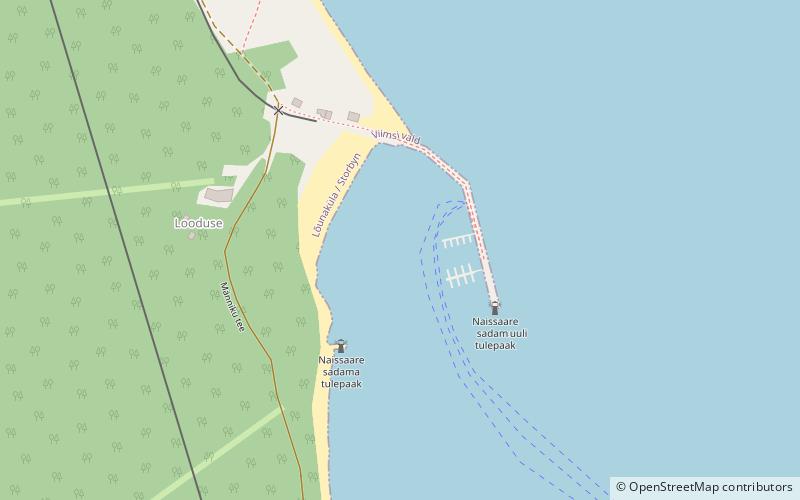
Naissaar is an island northwest of Tallinn in Estonia. The island covers an area of 18.6 square kilometres. It is 8 kilometres long and 3.5 kilometres wide, and lies about 8.5 kilometres from the mainland. The highest point on the island is Kunilamägi, which is 27 metres above sea level. The island consists predominantly of coniferous forest and piles of stones and boulders. In 2020, the island had a population of 17; in 2011 the island had 35 or so permanent residents and some summer residents. Administratively the island is divided into three villages: Lõunaküla, Tagaküla, and Väikeheinamaa. ()
Location
Harju
ContactAdd
Social media
Add
Day trips


