Karjamaa, Tallinn
Map
Facts and practical information
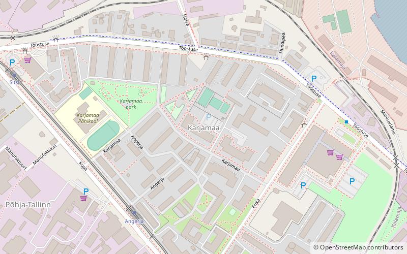
Karjamaa is a subdistrict in the district of Põhja-Tallinn, Tallinn, the capital of Estonia. It's located northwest of Kalamaja and east of Sitsi, main part is between Kopli, Tööstuse and Erika streets. Karjamaa also includes the Hundipea area and the Mine Harbour by the Tallinn Bay. Karjamaa has a population of 5,314. ()
Address
Põhja-Tallinn (Karjamaa)Tallinn
ContactAdd
Social media
Add
Day trips
Karjamaa – popular in the area (distance from the attraction)
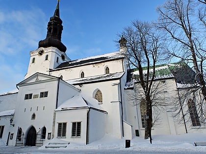
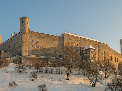
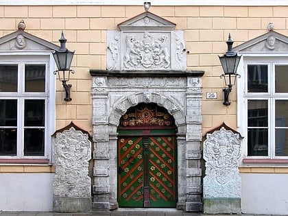
Nearby attractions include: St Mary's Cathedral, Toompea Castle, Museum of Applied Art and Design, Estonian Museum of Natural History.
Frequently Asked Questions (FAQ)
Which popular attractions are close to Karjamaa?
Nearby attractions include Miinisadam Naval Base, Tallinn (11 min walk), Sitsi, Tallinn (12 min walk), Paljassaare Harbour, Tallinn (13 min walk), Põhja-Tallinn, Tallinn (15 min walk).
How to get to Karjamaa by public transport?
The nearest stations to Karjamaa:
Bus
Tram
Light rail
Trolleybus
Bus
- Karjamaa • Lines: 3, 59, 73 (3 min walk)
- Väike-Erika • Lines: 59 (4 min walk)
Tram
- Angerja • Lines: 1, 2 (5 min walk)
- Sitsi • Lines: 1, 2 (8 min walk)
Light rail
- Tallinn Baltic station • Lines: Elron Aegviidu --> Tallinn, Elron Kloogaranna --> Tallinn, Elron Paldiski --> Tallinn, Elron Riisipere --> Tallinn, Elron Tallinn --> Aegviidu, Elron Tallinn --> Kloogaranna, Elron Tallinn --> Paldiski, Elron Tallinn --> Riisipere (30 min walk)
Trolleybus
- Kelmiküla • Lines: T1, T4, T5 (32 min walk)
- Balti jaam • Lines: T4, T5 (32 min walk)
