Karula Upland, Karula National Park
Map

Map

Facts and practical information
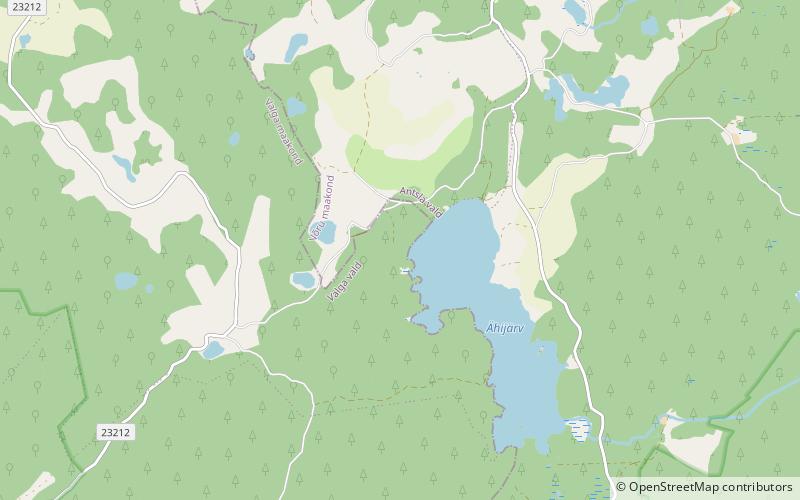
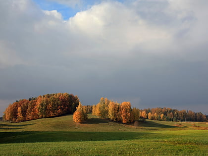
Karula Upland is hilly area of higher elevation in Southern Estonia. ()
Coordinates: 57°42'52"N, 26°29'12"E
Address
Karula National Park
ContactAdd
Social media
Add
Day trips
Karula Upland – popular in the area (distance from the attraction)
Nearby attractions include: Ähijärv, Suur Pehmejärv.


