Struve Geodetic Arc

Gallery (3)
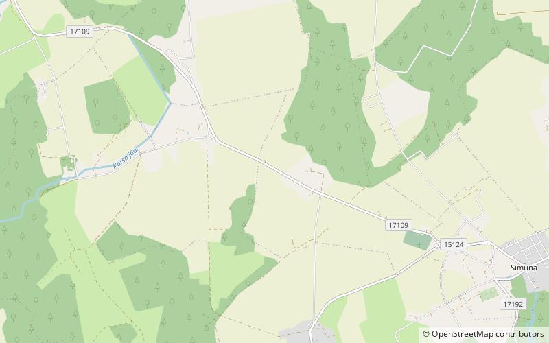
Map
Map
Gallery
Facts and practical information
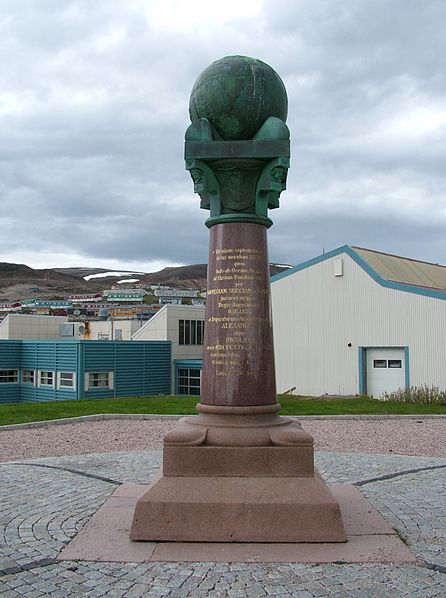
The Struve Geodetic Arc is a chain of survey triangulations stretching from Hammerfest in Norway to the Black Sea, through ten countries and over 2,820 kilometres, which yielded the first accurate measurement of a meridian arc. ()
Location
Lääne-Viru
ContactAdd
Social media
Add
Day trips

