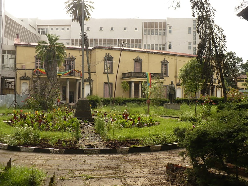
Addis Ababa City Hall, Addis Ababa

Gallery (1)
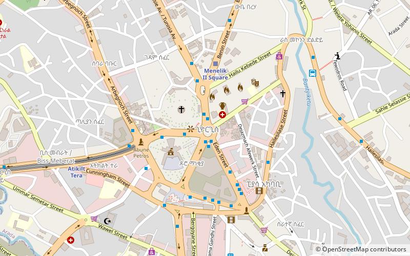
Map

Map
Facts and practical information
The Addis Ababa City Hall is a governmental department that houses the offices of the Municipality of Addis Ababa, Ethiopia. ()
Completed: 1964 (61 years ago)Architectural style: ModernHeight: 138 ftCoordinates: 9°2'5"N, 38°45'3"E
Address
Addis Ababa
ContactAdd
Social media
Add
Getting there by public transportation
Public transportation stops near this location
- Bus
- Light rail
 Bus
Bus
- Calculate routePiassa 3 min walk
- Calculate routeHabtegiorgis Bridge 4 min walk
- Calculate routeAbune Petros 4 min walk
- Calculate routeAtikilt Tera 7 min walk
- Calculate routeMenelik II Square 8 min walk
- Calculate routeGojam Berenda 22 min walk
Day trips


Frequently Asked Questions (FAQ)
Which popular attractions are close to Addis Ababa City Hall?
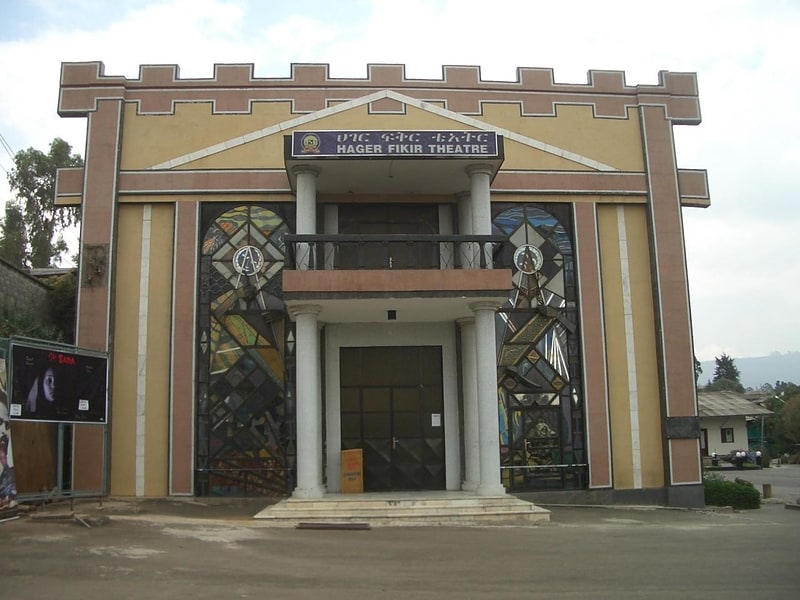
Nearby attractions include Arada, Addis Ababa (4 min walk), St George's Cathedral, Addis Ababa (4 min walk), Hager Fikir Theatre, Addis Ababa (9 min walk), Addis Ababa Fistula Hospital, Addis Ababa (19 min walk).
How to get to Addis Ababa City Hall by public transport?
The nearest stations to Addis Ababa City Hall:
Bus
Light rail
Bus
- Piassa • Lines: A18, B37, C14, C15 (3 min walk)
- Habtegiorgis Bridge • Lines: Ab015, Ab041, B37 (4 min walk)
Light rail
- Atikilt Tera • Lines: S-N (7 min walk)
- Menelik II Square • Lines: S-N (8 min walk)