Sandsvatn, Sandur

Gallery (1)
Map
Map
Facts and practical information
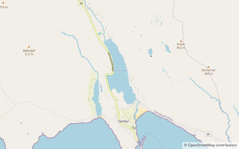
The Sandsvatn is the largest lake on the island of Sandoy and the third largest in the Faroe Islands, measuring 0.8 km2 with a depth of 5 metres. It is situated in a valley between Skopun and Sandur, just north of the latter on Road 30. At the northern end of the lake are the island's school centre and a copse which was badly damaged by a 1988 hurricane. ()
Alternative names: Area: 197.68 acres (0.3089 mi²)Elevation: 26 ft a.s.l.Coordinates: 61°50'51"N, 6°49'12"W
Address
Sandur
ContactAdd
Social media
Add
Day trips