Kirvi, Suðuroy
#2 among attractions in Suðuroy

Facts and practical information
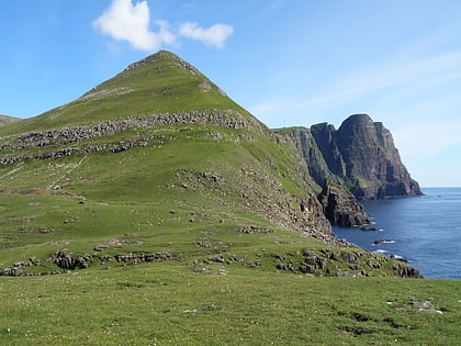
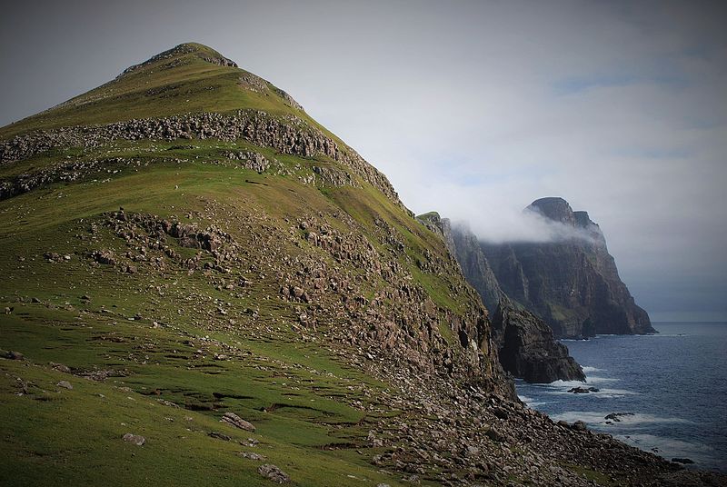
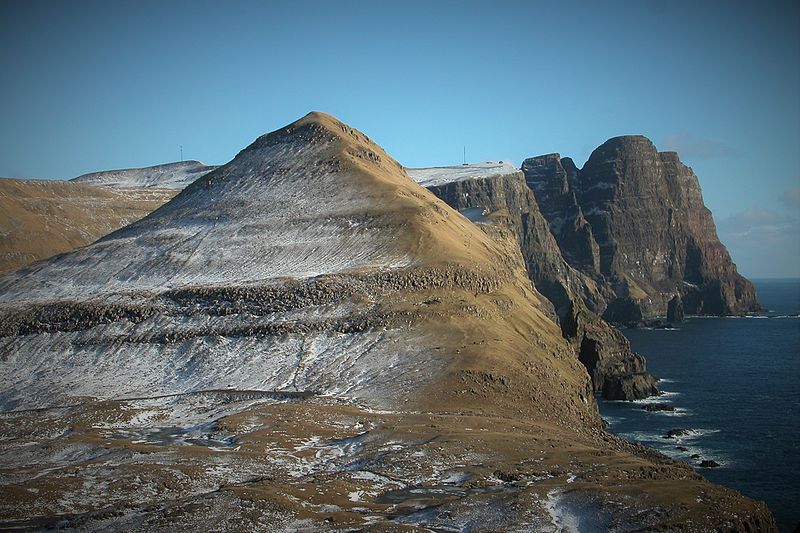
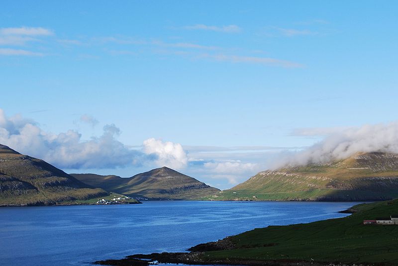
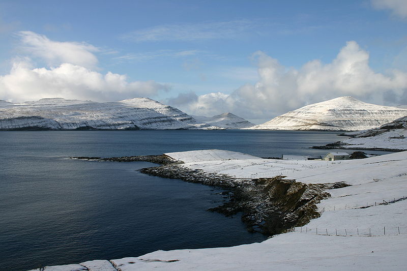
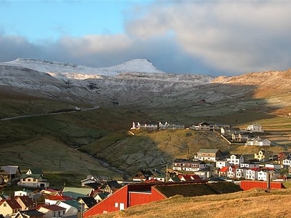
Kirvi is a mountain in Suðuroy, near the village Lopra. Kirvi is 236m high and its shape resembles that of a pyramid. The mountain is visible from the villages Lopra and Nes, between Vágur and Porkeri. The top of the mountain is called Kirviskollur. The mountain is located in the municipality of Sumba. ()
Suðuroy Faroe Islands
Kirvi – popular in the area (distance from the attraction)
Nearby attractions include: Eggjarnar, Porkeri Church, Beinisvørð, Nónfjall.
 Nature, Natural attraction, Mountain
Eggjarnar, Vágur
52 min walk • Eggjarnar is a place to the south of the village of Vágur on Suðuroy island in the Faroe Islands, which is known for its scenic viewpoint to the sea-cliffs of the southern part of Suðuroy all the way to Beinisvørð in the south, and to Vágseiði in the north.
 Architecture, Church
Porkeri Church, Porkeri
81 min walk • Porkeri Church is a church in the settlement of Porkeri in the Faroe Islands. Porkeri is situated on the island of Suðuroy, which is the southernmost of the islands. It is a wooden church and it has a roof of turf.
 Natural attraction, Nature, Mountain
Beinisvørð
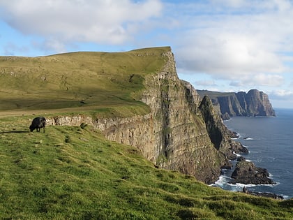
26 min walk • Beinisvørð is a 469 metres high sea cliff in Suðuroy, Faroe Islands, the highest sea cliff in Suðuroy. It is located between the villages of Lopra and Sumba.
 Nature, Natural attraction, Mountain
Nónfjall, Suðuroy
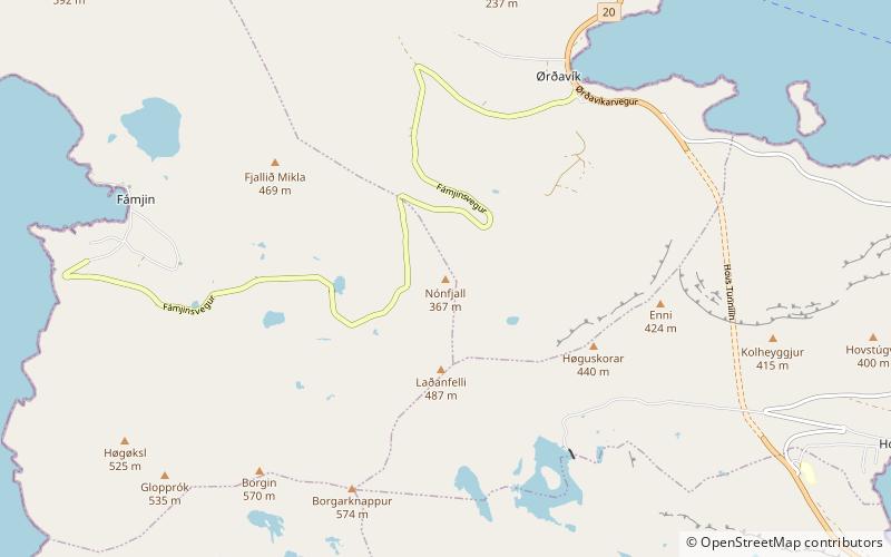
147 min walk • Nónfjall is a 367-metre-high mountain on the island Vágar in the Faroe Islands, the mountain is located south of the village of Sørvágur, near Vágar Airport and east of the mountain Høgafjall. The name Nónfjall translates to 'Noon mountain'.
 Natural attraction, Nature, Fjord
Vágsfjørður
44 min walk • Vágsfjørður is a fjord on the island of Suðuroy in the Faroe Islands. The fjord is located in the southern part and on the eastern side of the island. The distance between the east and the west coast of Suðuroy is very short from Vágsfjørður to Vágseiði. Between the fjord and Vágseiði is a lake which is called Vatnið.
 Striking and iconic 470-m. sea cliffs
Beinisvørð, Sumba
36 min walk • Beinisvørð is a 469 metres high sea cliff in Suðuroy, Faroe Islands, the highest sea cliff in Suðuroy. It is located between the villages of Lopra and Sumba.
 Nature, Natural attraction, Mountain
Borgarknappur, Suðuroy
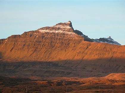
116 min walk • Borgarknappur is a mountain in Suðuroy, Faroe Islands. The mountain is 574 metres high. It is located in the center of the island, west of the village Hov and south-east of Fámjin, south-west of Øravík and north of Vágur.
 Nature, Natural attraction, Mountain
Porkeri Mountains, Suðuroy
94 min walk • The Porkeri Mountains are a mountain range near the village of Porkeri in the Faroe Islands near the Porkeri Mountains, just north of Vágur on Suðuroy's east coast.
 Village
Hov
125 min walk • One of the highlights of a visit to Hov is exploring the village's rich history and cultural heritage. The Hov Church, with its striking red roof and white walls, is a beautiful example of traditional Faroese architecture and is a must-see for history enthusiasts.
 Campsite
Vágseiði, Vágur
67 min walk • Vágseiði is an area in Vágur, Faroe Islands, located on the west coast of Suðuroy west of the village Vágur, from which it takes its name. Eiði is the Faroese word for isthmus. The distance between the east and the west coast of Vágur is only one km.
 Arenas and stadiums, Sport venue, Sport
Vesturi á Eiðinum Stadium, Suðuroy
66 min walk • á Eiðinum is a multi-use stadium in Vágur, which is one of the larger villages in the southernmost island Suduroy in the Faroe Islands. It is currently used mostly for football matches and is the home ground of FC Suðuroy, formerly called VB/Sumba. The stadium holds 3,000 people, but has only 330 seats.
