Trek Zone

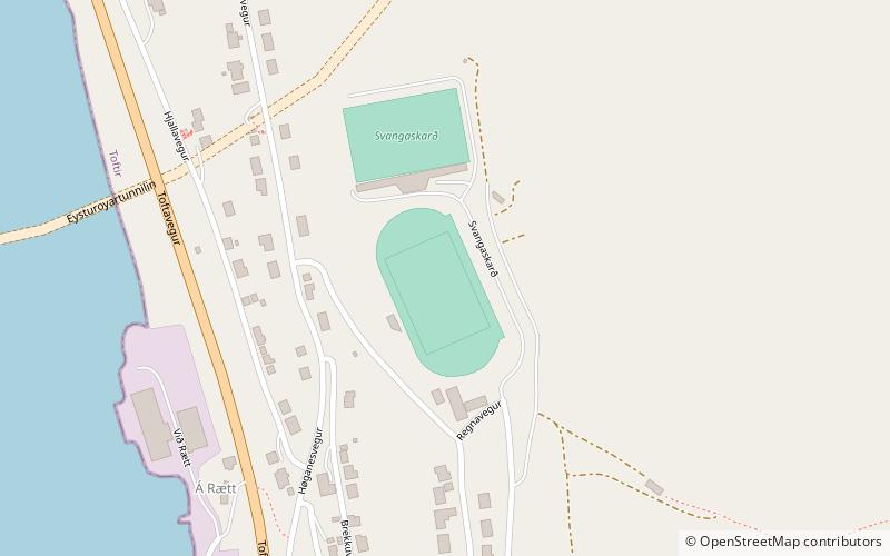
Runavík Stadium, Runavík
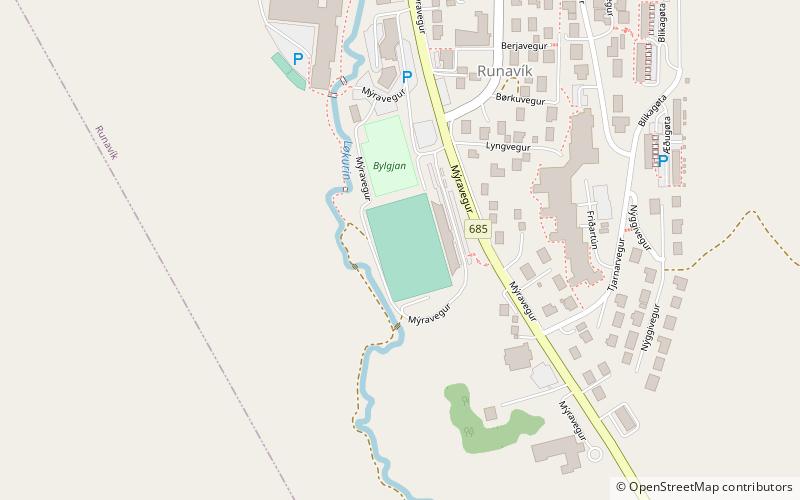
#2 among attractions in Runavík

Sport, Arenas and stadiums, Sport venue
Runavík Stadium location map
Map

Facts and practical information

Alternative names: Capacity: 1500Coordinates: 62°6'21"N, 6°43'24"W
Address

Runavík Faroe Islands

ContactAdd
Social media
Add
Day trips

Runavík Stadium – popular in the area (distance from the attraction)

Nearby attractions include: National Museum of the Faroe Islands, Lake Toftir, Sornfelli, Skálafjørður.

  • national museum of the faroe islands hoyvik5.3 miS
  • lake toftir eysturoy0.8 miS
  • sornfelli streymoy3.9 miSW
  • skalafjordur2.3 miN
  • kambur eysturoy3.1 miNW
  • loksholl runavik~1050 ftNW
  • svangaskard eysturoy location map
    0.6 miSW
  • skala stadium eysturoy4.3 miNW

Frequently Asked Questions (FAQ)

Which popular attractions are close to Runavík Stadium?

Nearby attractions include Løkshøll, Runavík (6 min walk), Lake Toftir, Eysturoy (21 min walk).

Where to next? Visit eysturoyar Eysturoyar region page or discover the top tourist attractions in Faroe Islands.