Gau Island
Gallery (1)
Map
Map
Facts and practical information
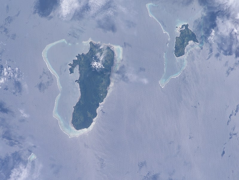
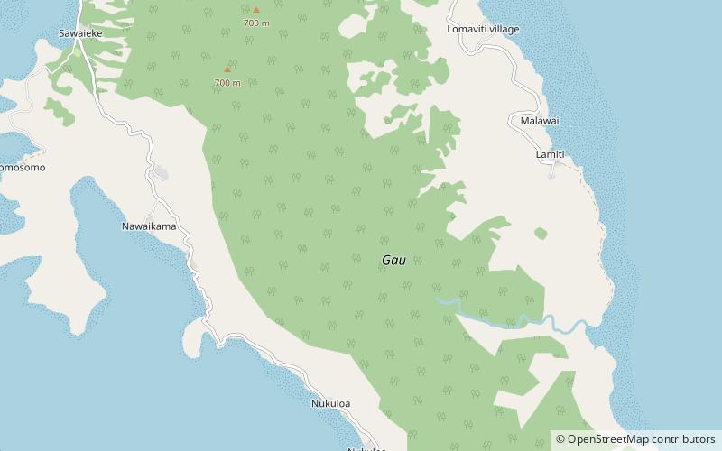
Gau is an island belonging to Fiji's Lomaiviti archipelago. Located at 18.00° S and 179.30 °E, it covers an area of 136.1 square kilometres, with a total shoreline that measures 66.3 kilometres long, making it the fifth largest island in the Fijian archipelago. Its maximum altitude is 738 metres. ()
Location
Eastern
ContactAdd
Social media
Add