Nananu-i-Ra

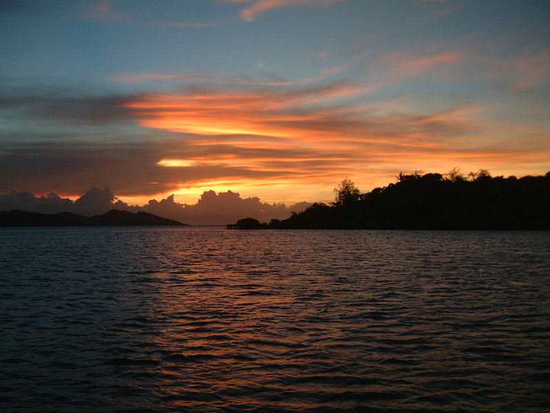
Gallery (2)
Map
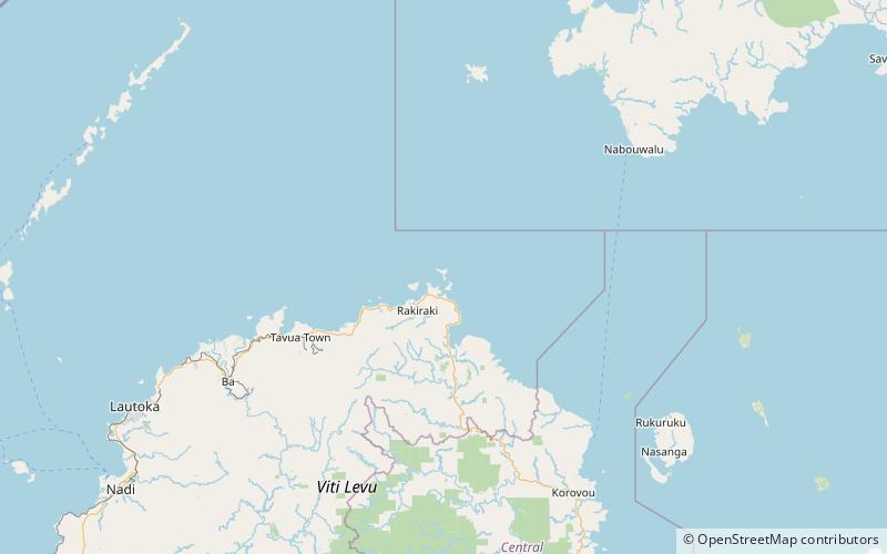
Map
Gallery
Facts and practical information
Nananu-i-Ra is an island in Fiji about 3 kilometers off the north coast of the main island of Viti Levu, near the town of Rakiraki in Ra Province. The island is 3.5 square kilometers and has a maximum elevation of 180 meters. The name "Nananu-I-Ra" means "Daydream of the West" in Fijian. Fijian mythology holds that Nananu-I-Ra is the point of departure for disembodied spirits leaving this world for the afterlife. ()
Location
Western
ContactAdd
Social media
Add
Day trips

