Joske's Thumb
Map

Map

Facts and practical information
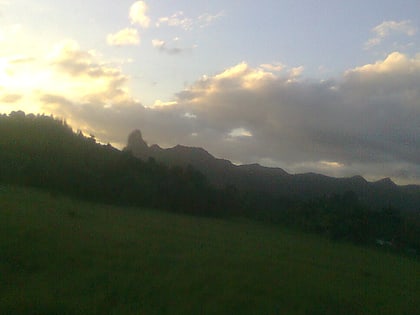
Joske's Thumb is a precipitous volcanic plug that rises in the skyline to the west of Suva, Fiji. It is located 15 kilometers west of Suva and its base is accessible from Naikorokoro Road, which connects Naikorokoro Village to Queens Road. Other sources note that Naikorokoro Road, the road toward Joske's Thumb, intersects on the north side of Queens Road, 0.8 kilometres west of the Lami Bay Hotel outside Lami. ()
Elevation: 1450 ftCoordinates: 18°5'18"S, 178°18'11"E
Location
Central
ContactAdd
Social media
Add
