Jaatsi, Sastamala

Gallery (1)
Map
Map
Facts and practical information
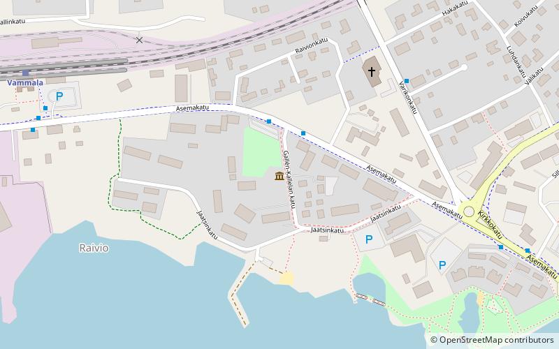
Jaatsi is a place located in Sastamala (Western Finland province) and belongs to the category of museum.
It is situated at an altitude of 203 feet, and its geographical coordinates are 61°20'53"N latitude and 22°53'44"E longitude.
Among other places and attractions worth visiting in the area are: Herra Hakkaraisen talo (shop, 15 min walk), St. Olaf's Church (historical place, 40 min walk), Rautavesi (nature, 120 min walk).
Coordinates: 61°20'53"N, 22°53'44"E
Day trips


