Tehtaankatu, Helsinki
Map
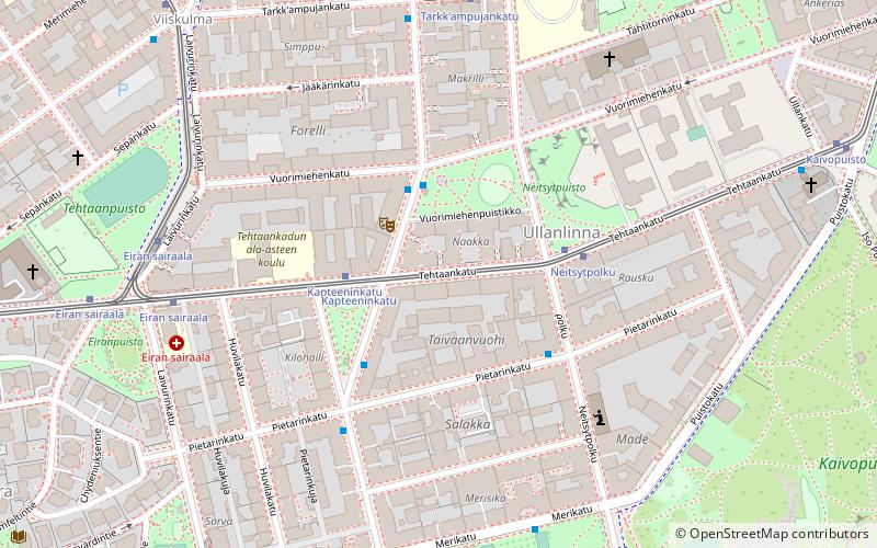
Map

Facts and practical information
Tehtaankatu is an east-to-west street in southern central Helsinki. It leads from the border of Kaivopuisto park near South Harbour to Hietalahti shipyard. Most of the street is in Ullanlinna district, but its westernmost part forms the border between Eira and Punavuori districts. ()
Address
Eteläinen (Ullanlinna)Helsinki
ContactAdd
Social media
Add
Day trips
Tehtaankatu – popular in the area (distance from the attraction)
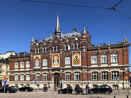
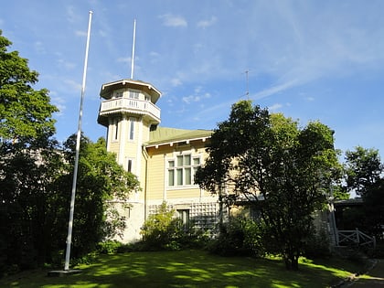
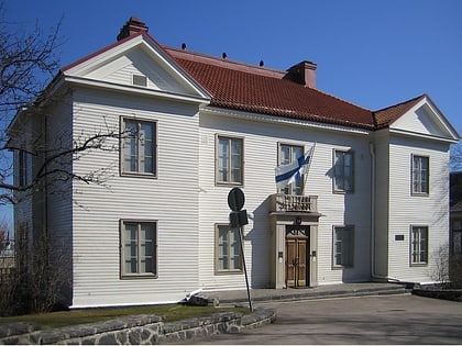
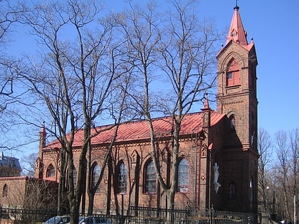
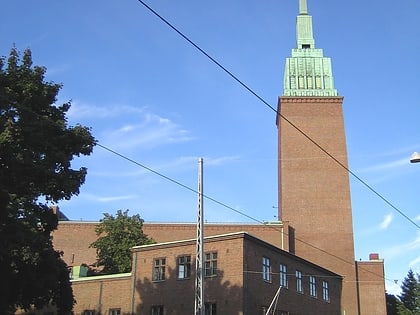
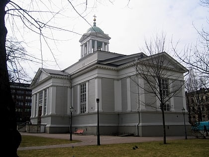
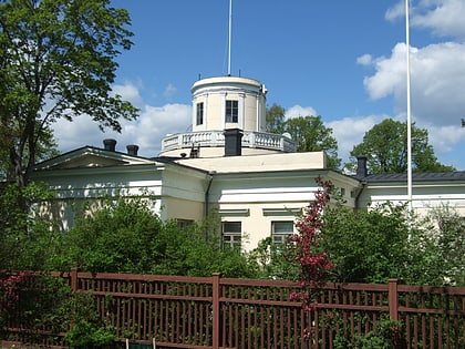
Nearby attractions include: Design Museum, Sinebrychoff Art Museum, St. John's Church, Cygnaeus Gallery.
Frequently Asked Questions (FAQ)
Which popular attractions are close to Tehtaankatu?
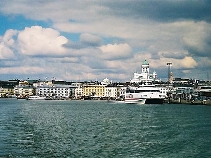
Nearby attractions include Kaivopuisto, Helsinki (6 min walk), Viiskulma, Helsinki (7 min walk), St. John's Church, Helsinki (7 min walk), St. Henry's Cathedral, Helsinki (7 min walk).
How to get to Tehtaankatu by public transport?
The nearest stations to Tehtaankatu:
Tram
Bus
Ferry
Metro
Train
Tram
- Kapteeninkatu • Lines: 3 (2 min walk)
- Neitsytpolku • Lines: 3 (3 min walk)
Bus
- Vuorimiehen puistikko • Lines: 24 (2 min walk)
- Neitsytpolku • Lines: 24 (3 min walk)
Ferry
- Olympia Terminal, Helsinki • Lines: Silja Line (12 min walk)
- Kauppatori • Lines: Kauppatori-Korkeasaari, Sininen reitti (17 min walk)
Metro
- Central Railway Station • Lines: M1, M2 (23 min walk)
- Kamppi • Lines: M1, M2 (24 min walk)
Train
- Helsinki (25 min walk)

