Lake Keitele

Gallery (1)
Map
Map
Facts and practical information
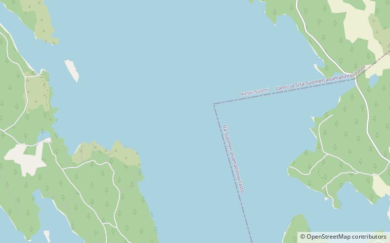
Keitele is a rather large lake located in Central Finland. With the area of 493.59 km2 it is the 9th largest lake in the country. The lake is divided into three regions, Ylä-, Keski-, and Ala-Keitele, of which Keski-Keitele is the largest. Water in the lake is clear and in excellent condition. The towns of Äänekoski and Viitasaari are located on the shores of Keitele. ()
Local name: Keitele Area: 127.51 mi²Maximum depth: 217 ftElevation: 325 ft a.s.l.Coordinates: 62°55'60"N, 26°1'60"E
Location
Western Finland
ContactAdd
Social media
Add