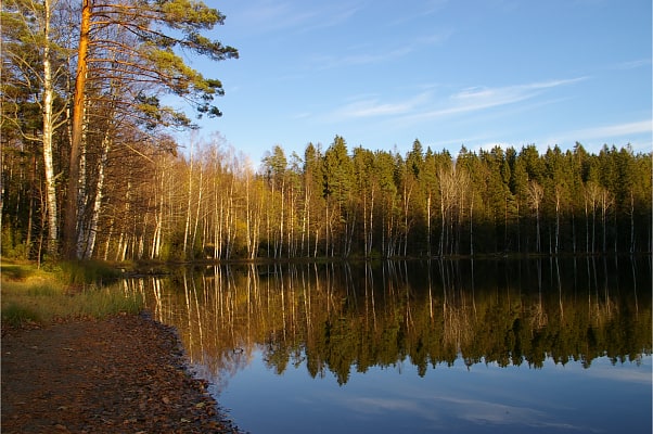
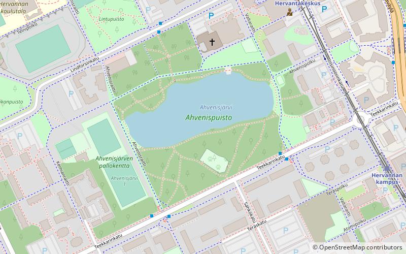
Särkijärvi beach, Tampere
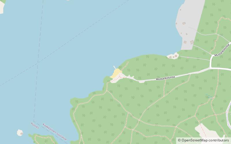
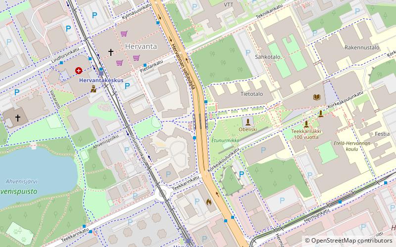
Map
Facts and practical information
Särkijärvi beach is a place located in Tampere (Western Finland province) and belongs to the category of beach, lake.
It is situated at an altitude of 374 feet, and its geographical coordinates are 61°27'3"N latitude and 23°49'1"E longitude.
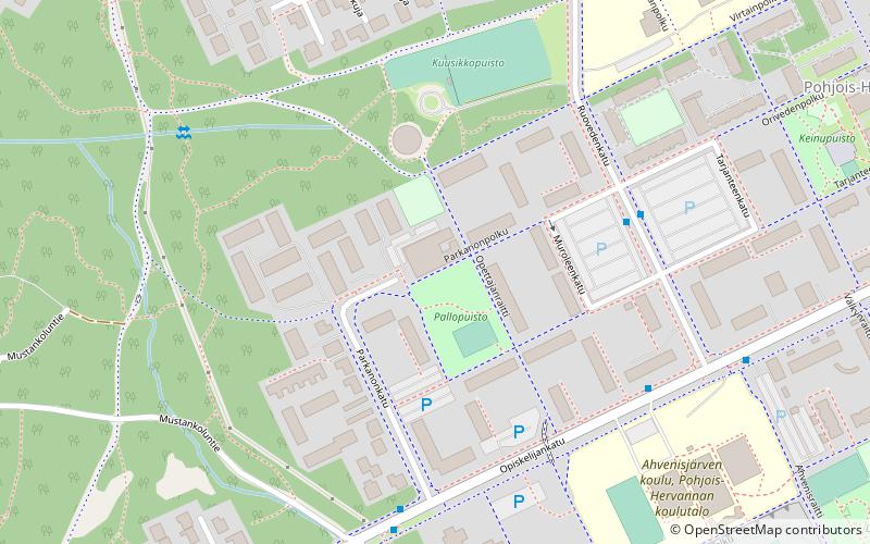
Planning a visit to this place, one can easily and conveniently get there by public transportation. Särkijärvi beach is a short distance from the following public transport stations: Opiskelija B (light rail, 26 min walk).
Among other places and attractions worth visiting in the area are: Pallopuisto (park, 14 min walk), Suolijärvi (nature, 19 min walk), Ahvenisjärven puisto (park, 25 min walk).
Elevation: 374 ft a.s.l.Coordinates: 61°27'3"N, 23°49'1"E
Address
Tampere
ContactAdd
Social media
Add
Getting there by public transportation
Public transportation stops near this location
- Light rail
 Light rail
- Calculate routeOpiskelija B 26 min walk
- Calculate routePohjois-Hervanta A 27 min walk
Day trips

Frequently Asked Questions (FAQ)
Which popular attractions are close to Särkijärvi beach?
Nearby attractions include Pallopuisto, Tampere (14 min walk), Suolijärvi, Tampere (19 min walk).
How to get to Särkijärvi beach by public transport?
The nearest stations to Särkijärvi beach:
Light rail
Light rail
- Opiskelija B • Lines: 3 (26 min walk)
- Pohjois-Hervanta A • Lines: 3 (27 min walk)