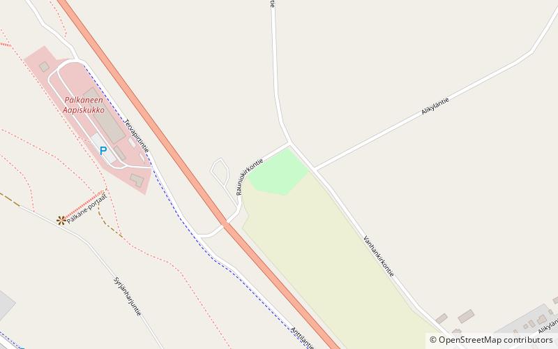
Pälkäneen rauniokirkko

Gallery (1)
Map
Map
Facts and practical information
Pälkäneen rauniokirkko is a place located in Finland and belongs to the category of ruins.
It is situated at an altitude of 344 feet, and its geographical coordinates are 61°20'48"N latitude and 24°15'43"E longitude.
Among other places and attractions worth visiting in the area are: Pälkäneen Kirkko (church, 15 min walk), Pälkäne (locality, 19 min walk), Pälkänevesi (nature, 106 min walk).
Coordinates: 61°20'48"N, 24°15'43"E
Day trips


