Leppävesi
Gallery (1)
Map
Map
Facts and practical information
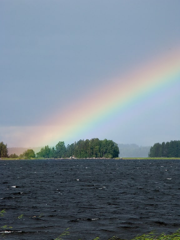
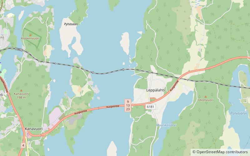
Leppävesi is the 65th largest lake of Finland in municipalities Jyväskylä, Laukaa and Toivakka. It is quite narrow but long lake in direction south-north. It flows to Päijänne via Vaajavirta. It is part of Keitele Canal, waterway connecting Lake Keitele and Päijänne. National road 9 and Pieksämäki–Jyväskylä railway cross the lake. ()
Alternative names: Area: 24.55 mi²Length: 18.64 miWidth: 6562 ftMaximum depth: 148 ftElevation: 266 ft a.s.l.Coordinates: 62°14'36"N, 25°57'22"E
Location
Western Finland
ContactAdd
Social media
Add
Day trips