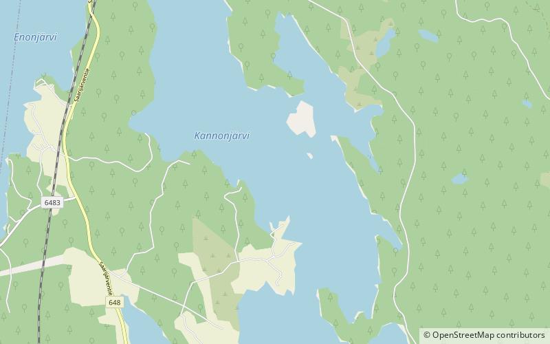
Kannonselkä
Map

Map

Facts and practical information
Kannonselkä is a medium-sized lake of Central Finland in the Kymijoki main catchment area. It is in the area of Kannonkoski municipality. The lake is in quite natural condition and there are good possibilities for fishing. There are several archaeological settlement places in Otaniemi on the lake shore. ()
Local name: Kannonjärvi Area: 4.34 mi²Maximum depth: 64 ftElevation: 463 ft a.s.l.Coordinates: 62°54'8"N, 25°15'6"E
Location
Western Finland
ContactAdd
Social media
Add
Day trips
Kannonselkä – popular in the area (distance from the attraction)
Nearby attractions include: Enonjärvi, Kannonkoski Church.


