Koskela, Helsinki
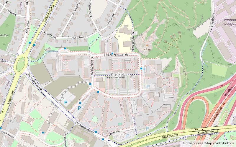
Map
Facts and practical information
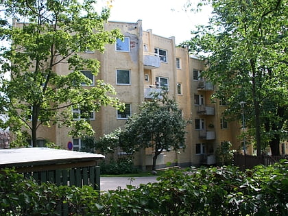
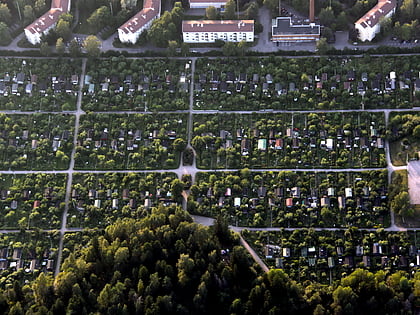
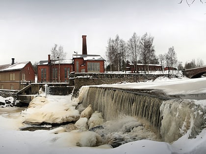
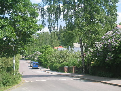
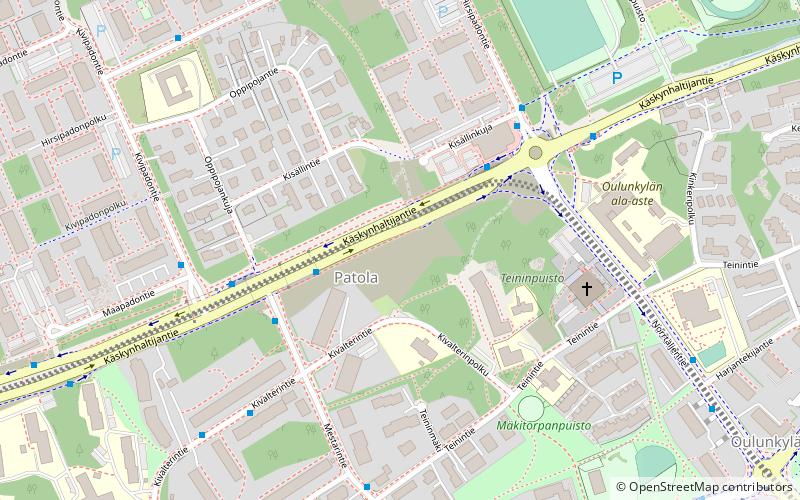
Koskela is a district in the city of Helsinki, Finland. There are about 3 300 inhabitants. The borough is surrounded by Käpylä, Kumpula, Vanhakaupunki, and Oulunkylä. Koskela is located in the subdivision of Vanhankaupungin peruspiiri, near the rapids close to the mouth of the Vantaa River. The earliest mention of the human settlement in Koskela dates back to 1417, which makes it the oldest part of Helsinki. ()
Address
Keskinen (Vanhakaupunki)Helsinki
ContactAdd
Social media
Add
Day trips
Koskela – popular in the area (distance from the attraction)
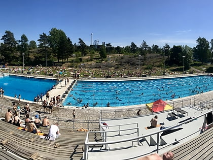
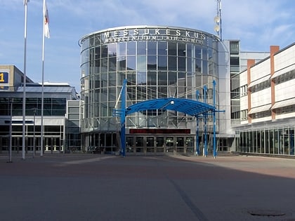
Nearby attractions include: Kumpulan maauimala, Museum of Technology, Oulunkylä Ice Rink, Messukeskus.
Frequently Asked Questions (FAQ)
Which popular attractions are close to Koskela?
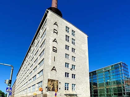
Nearby attractions include Vanhakaupunki, Helsinki (13 min walk), Museum of Technology, Helsinki (14 min walk), Käpylä, Helsinki (15 min walk), Kumpula, Helsinki (18 min walk).
How to get to Koskela by public transport?
The nearest stations to Koskela:
Bus
Tram
Train
Bus
- Juhana-herttuan tie • Lines: 55 (2 min walk)
- Herttuanpolku • Lines: 55 (2 min walk)
Tram
- Pohjolanaukio • Lines: 1 (13 min walk)
- Metsolantie • Lines: 1 (19 min walk)
Train
- Oulunkylä (17 min walk)
- Käpylä (20 min walk)
