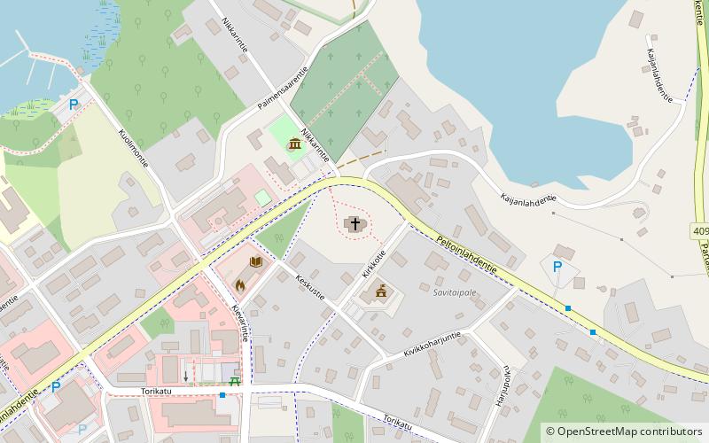
Savitaipaleen kirkko

Gallery (1)
Map
Map
Facts and practical information
Savitaipaleen kirkko is a place located in Finland and belongs to the category of church.
It is situated at an altitude of 299 feet, and its geographical coordinates are 61°11'58"N latitude and 27°41'11"E longitude.
Among other places and attractions worth visiting in the area are: Kärnäkoski Fortress (forts and castles, 113 min walk), Kuolimo (nature, 154 min walk).
Coordinates: 61°11'58"N, 27°41'11"E
Day trips

