Tammisalo, Helsinki
Map
Gallery
Facts and practical information
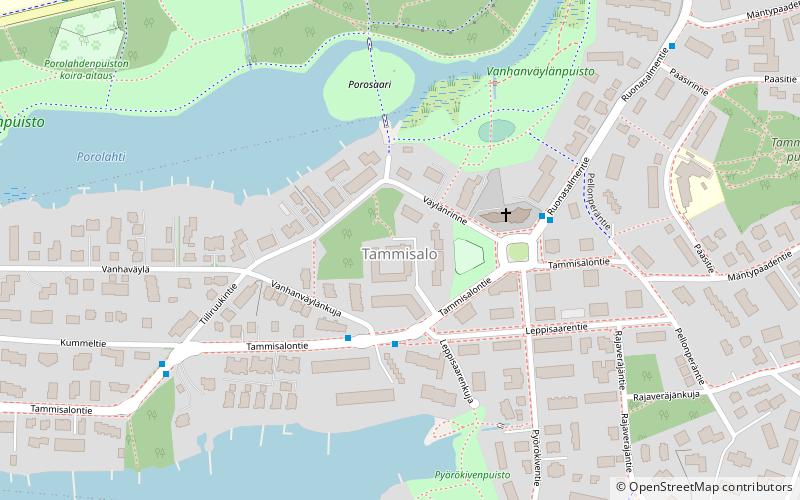
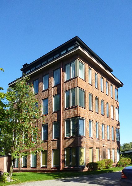
Tammisalo is a neighbourhood and an island in eastern part of Helsinki, Finland. The population of Tammisalo is approximately 2,200 and its area is 0.73 square kilometres. The nearest districts are Herttoniemi, Roihuvuori and Laajasalo. In the Viking era the coastal waterway from Sweden to Arab world went between Tammisalo and the continent along Porolahti bay. ()
Address
Kaakkoinen (Herttoniemi)Helsinki
ContactAdd
Social media
Add
Day trips
Tammisalo – popular in the area (distance from the attraction)
Nearby attractions include: Hertsi, Kirsikkapuisto, Playground Tuhkimo, Herttoniemen kartano.
Frequently Asked Questions (FAQ)
Which popular attractions are close to Tammisalo?
Nearby attractions include Kirsikkapuisto, Helsinki (12 min walk), Playground Tuhkimo, Helsinki (13 min walk), Herttoniemen kartano, Helsinki (16 min walk), Herttoniemi, Helsinki (18 min walk).
How to get to Tammisalo by public transport?
The nearest stations to Tammisalo:
Bus
Ferry
Metro
Bus
- Leppisaarenkuja • Lines: 82B, 83, 95N (2 min walk)
- Pellonperäntie • Lines: 82B, 83, 95N (3 min walk)
Ferry
- Vartiosaari • Lines: Itäinen saaristoreitti (22 min walk)
- Laajasalon saaristovenelaituri • Lines: Itäinen saaristoreitti (23 min walk)
Metro
- Herttoniemi • Lines: M1, M2 (26 min walk)
- Siilitie • Lines: M1, M2 (28 min walk)


