Karjalainen kotitalo, Imatra
Map
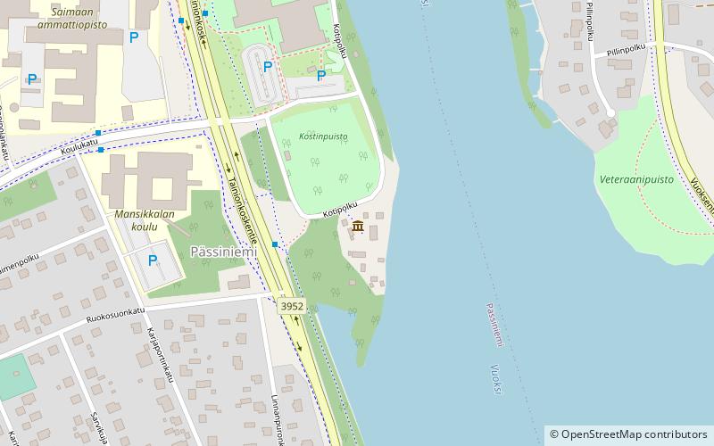
Map

Facts and practical information
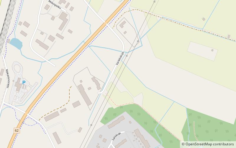
Karjalainen kotitalo (address: Kotipolku 1) is a place located in Imatra (Southern Finland province) and belongs to the category of historical place, view point, museum.
It is situated at an altitude of 217 feet, and its geographical coordinates are 61°11'1"N latitude and 28°46'56"E longitude.
Among other places and attractions worth visiting in the area are: Kulttuuritalo Virta (civic center, 15 min walk), Imatra Circuit (sport, 25 min walk), Imatrankoski (natural attraction, 28 min walk).
Coordinates: 61°11'1"N, 28°46'56"E
Address
Kotipolku 1Imatra 55120
Contact
+358 40 0655848
Social media
Add
Day trips
Karjalainen kotitalo – popular in the area (distance from the attraction)
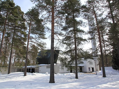
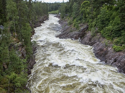
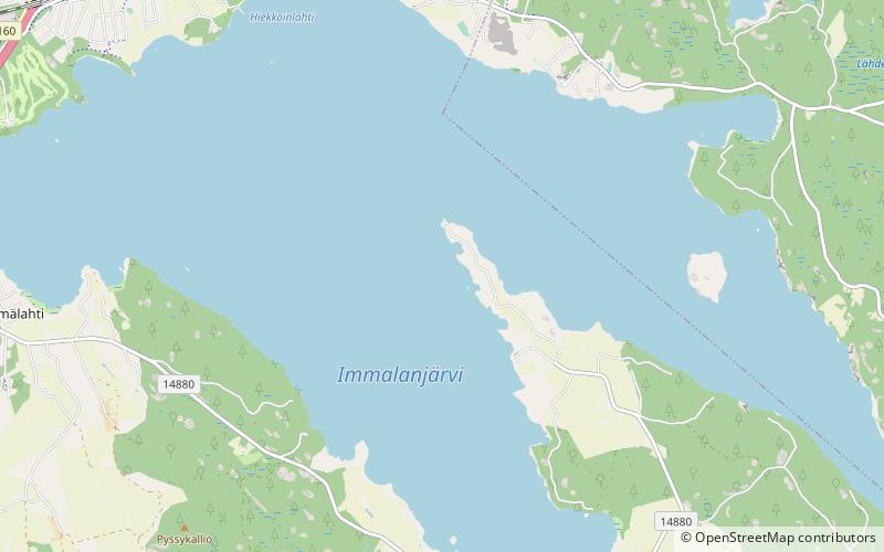
Nearby attractions include: Church of the Three Crosses, Imatrankoski, Immalanjärvi, Kulttuuritalo Virta.

