Kulosaari, Helsinki
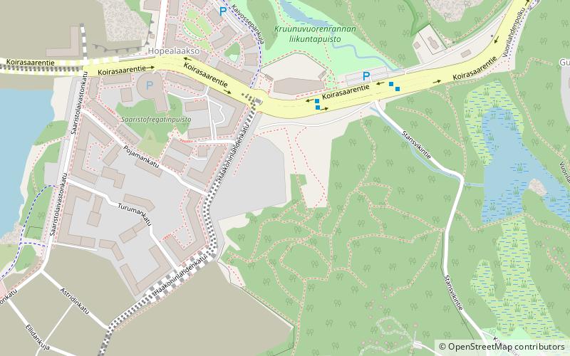
Map
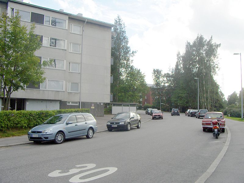
Gallery
Facts and practical information
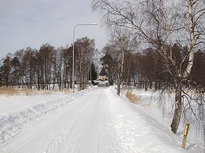
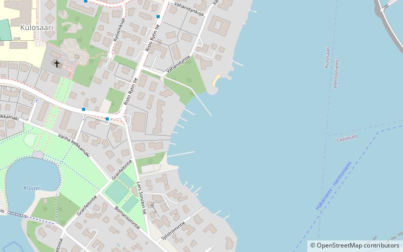
Kulosaari is an island and an East Helsinki suburb in Helsinki, Finland. It is also the 42nd neighbourhood of the city. Construction of villas on the island started in the beginning of the 20th century, and a bridge from Sörnäinen was opened in 1919. Kulosaari was an independent municipality since 1922 until 1946, when it was merged to Helsinki. ()
Address
Helsinki
ContactAdd
Social media
Add
Day trips
Kulosaari – popular in the area (distance from the attraction)
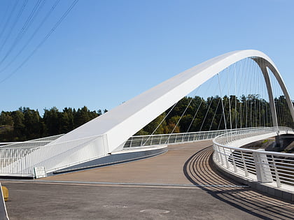
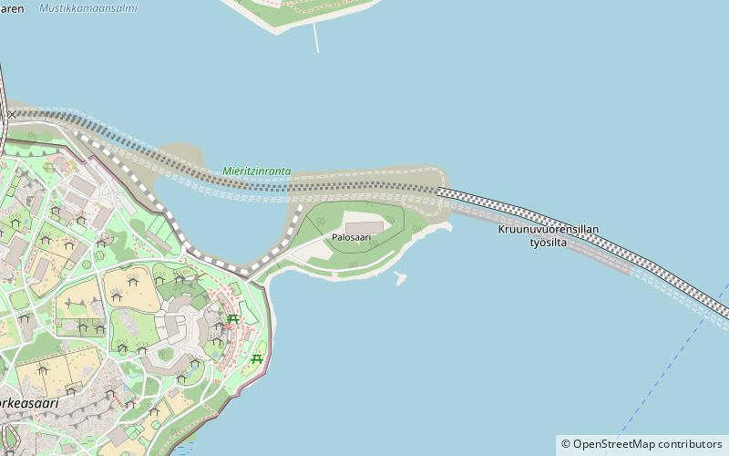
Nearby attractions include: Isoisänsilta, Kulosaari Manor, Mustikkamaa–Korkeasaari, Hertsi.
Frequently Asked Questions (FAQ)
Which popular attractions are close to Kulosaari?
Nearby attractions include Tullisaari, Helsinki (15 min walk), Kulosaari Manor, Helsinki (15 min walk), Herttoniemenranta, Helsinki (16 min walk), Kulosaari Cemetery, Helsinki (20 min walk).
How to get to Kulosaari by public transport?
The nearest stations to Kulosaari:
Bus
Metro
Ferry
Bus
- Lars Sonckin tie • Lines: 16, 86N (4 min walk)
- Risto Rytin tie • Lines: 16, 81, 86N (6 min walk)
Metro
- Kulosaari • Lines: M1, M2 (13 min walk)
- Herttoniemi • Lines: M1, M2 (24 min walk)
Ferry
- Herttoniemen saaristovenelaituri • Lines: Itäinen saaristoreitti (15 min walk)

