Jerisjärvi

Gallery (1)
Map
Map
Facts and practical information
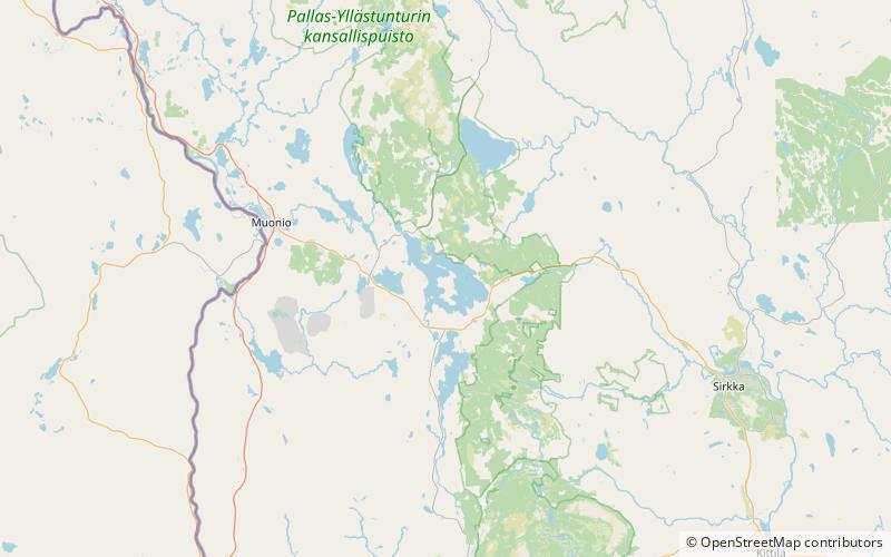
Jerisjärvi is a medium-sized lake of Finland in Muonio and Kittilä. It belongs to Tornionjoki main catchment area in Lapland. in the southern side of the Pallas-Yllästunturi National Park. ()
Alternative names: Area: 9.08 mi²Maximum depth: 38 ftElevation: 869 ft a.s.l.Coordinates: 67°54'26"N, 24°6'26"E
Location
Lapland
ContactAdd
Social media
Add