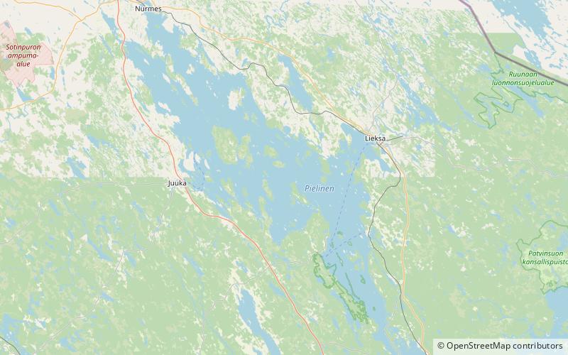
Pielinen
Map

Map

Facts and practical information
Pielinen is the fourth largest lake of Finland, with a drainage basin area of 12,823 km2 equally distributed between eastern Finland and Russia. The creation of the lake and its outlet is attributed to a post-glacial isostatic rebound, which resulted in uplift of the land. As is common in Finnish lakes, the lake's color is dark, due to the high proportion of bogs present in the catchment of the drainage basin that drains humic substances. ()
Alternative names: Area: 345.25 mi²Length: 74.56 miWidth: 24.85 miMaximum depth: 197 ftElevation: 308 ft a.s.l.Coordinates: 63°15'0"N, 29°40'0"E
Location
Eastern Finland
ContactAdd
Social media
Add
