Kasinonranta Beach, Helsinki
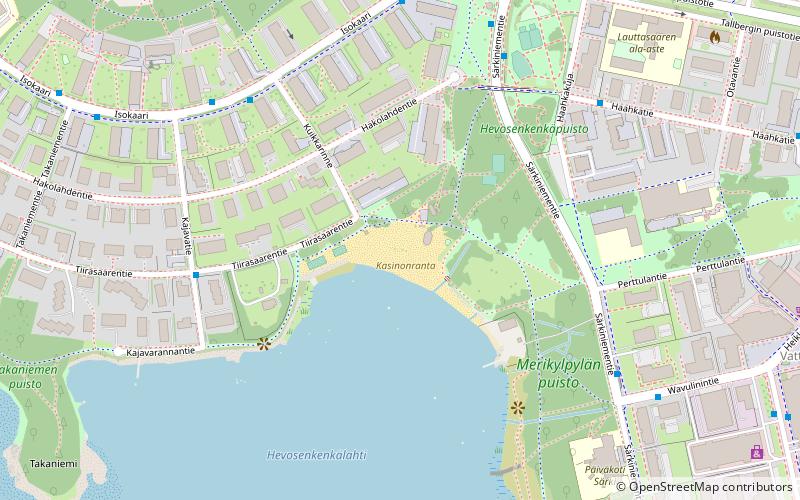
Map
Facts and practical information
Kasinonranta Beach is a place located in Helsinki (Southern Finland province) and belongs to the category of beach, park, playground.
It is situated at an altitude of 0 feet, and its geographical coordinates are 60°9'19"N latitude and 24°52'18"E longitude.
Planning a visit to this place, one can easily and conveniently get there by public transportation. Kasinonranta Beach is a short distance from the following public transport stations: Kuikkarinne (bus, 5 min walk), Lauttasaari (metro, 10 min walk).
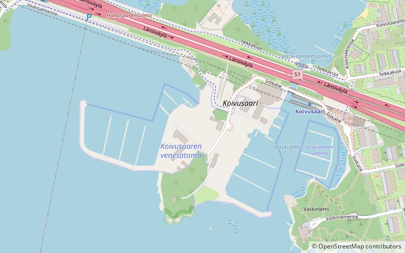
Among other places and attractions worth visiting in the area are: Lahnalahdenpuisto (park, 9 min walk), Lauttis (shopping, 12 min walk), Koivusaari (island, 25 min walk).
Elevation: 0 ft a.s.l.Coordinates: 60°9'19"N, 24°52'18"E
Address
Eteläinen (Lauttasaari)Helsinki
ContactAdd
Social media
Add
Getting there by public transportation
Public transportation stops near this location
- Metro
- Bus
 Metro
Metro
- Calculate routeKuikkarinne 5 min walk
- Calculate routeHevosenkenkäpuisto 5 min walk
- Calculate routeLauttasaaren kirkko 5 min walk
- Calculate routeSärkiniementie 6 min walk
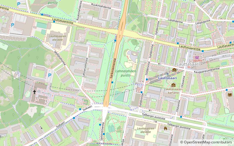
- Calculate routeLauttasaari 10 min walk
- Calculate routeKoivusaari 22 min walk
Day trips


Frequently Asked Questions (FAQ)
How to get to Kasinonranta Beach by public transport?
The nearest stations to Kasinonranta Beach:
Bus
Metro
Bus
- Kuikkarinne • Lines: 21N, 22, 22B (5 min walk)
- Hevosenkenkäpuisto • Lines: 21, 21N (5 min walk)
Metro
- Lauttasaari • Lines: M1, M2 (10 min walk)
- Koivusaari • Lines: M1, M2 (22 min walk)