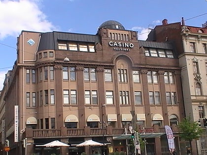
Pitkäsilta, Helsinki
Map
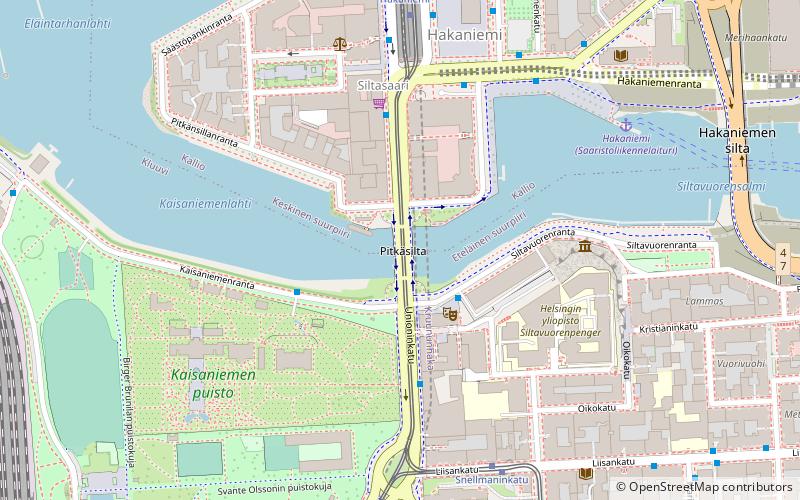
Map

Facts and practical information
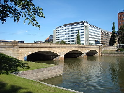
The Pitkäsilta is a bridge in Helsinki, Finland, connecting the districts of Kruununhaka and Siltasaari. It was completed in 1912 by the design of the architect Runar Eklund. Pitkäsilta is one of the best known landmarks of Helsinki. The bridge's name comes from near the end of the 19th century, when the district of Siltasaari was still an island. Two bridges led to the island, and bridge in the spot of the current Pitkäsilta was longer. ()
Day trips
Pitkäsilta – popular in the area (distance from the attraction)
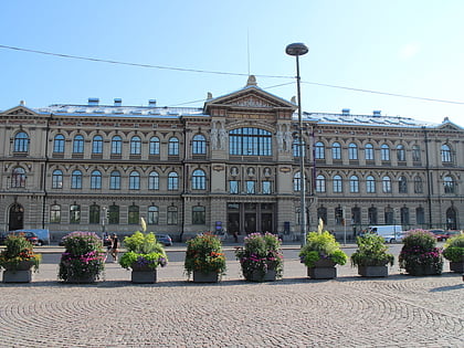
Nearby attractions include: Ateneum, Helsinki Cathedral, Hakaniemi, University of Helsinki Botanical Garden.
Frequently Asked Questions (FAQ)
Which popular attractions are close to Pitkäsilta?
Nearby attractions include WHS Teatteri Union, Helsinki (2 min walk), University of Helsinki Botanical Garden, Helsinki (4 min walk), Paasitorni, Helsinki (5 min walk), Hakaniemen Kauppahlli, Helsinki (5 min walk).
How to get to Pitkäsilta by public transport?
The nearest stations to Pitkäsilta:
Bus
Tram
Ferry
Metro
Train
Bus
- Kaisaniemenpuisto • Lines: 16, 23, 23N, 55, 61, 61N, 61T, 64, 65, 66, 67, 67N, 71, 73N, 74N, 75, 77, 77N, 78, 79N, 85N, 86N, 87N, 90A, 90N, 92N, 94N, 95N, 96N, 97N (4 min walk)
- Snellmaninkatu • Lines: 16 (5 min walk)
Tram
- Snellmaninkatu • Lines: 7 (5 min walk)
- Hakaniemi • Lines: 3, 6, 6T, 7, 9 (5 min walk)
Ferry
- Hakaniemi • Lines: Itäinen saaristoreitti (5 min walk)
- Kauppatori • Lines: Kauppatori-Korkeasaari, Sininen reitti (17 min walk)
Metro
- University of Helsinki • Lines: M1, M2 (7 min walk)
- Hakaniemi • Lines: M1, M2 (8 min walk)
Train
- Helsinki (12 min walk)
