Rutajärvi
Map

Map

Facts and practical information
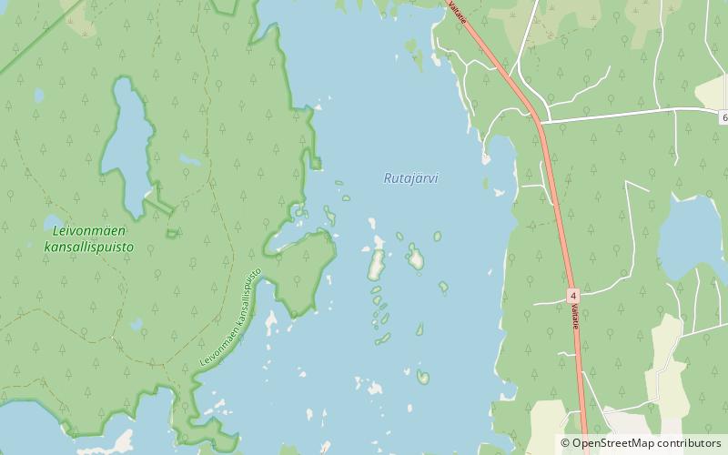
Rutajärvi is a medium-sized lake in Joutsa municipality, next to the Leivonmäki National Park in Central Finland region. The western shores of the lake are included to the park. ()
Alternative names: Area: 4.33 mi²Maximum depth: 72 ftElevation: 400 ft a.s.l.Coordinates: 61°56'32"N, 26°4'28"E
Location
Western Finland
ContactAdd
Social media
Add
Day trips
Rutajärvi – popular in the area (distance from the attraction)
Nearby attractions include: Leivonmäki National Park.

