Saraavesi

Gallery (1)
Map
Map
Facts and practical information
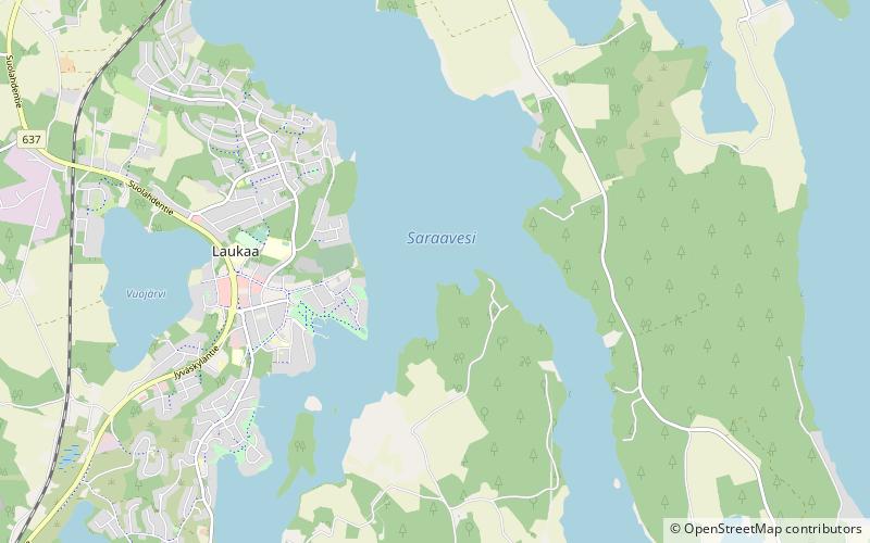
Saraavesi is a medium-sized lake in Laukaa, Finland. It flows to lake Leppävesi via Kuhankoski rapids. The lake is part of Keitele Canal, a waterway connecting Lake Keitele and Päijänne. Saraakallio rock paintings are located on the shore of Saraavesi. ()
Alternative names: Area: 4.05 mi²Maximum depth: 131 ftElevation: 279 ft a.s.l.Coordinates: 62°24'55"N, 25°58'53"E
Location
Western Finland
ContactAdd
Social media
Add
Day trips


