Kouvolan keskuskenttä, Kouvola
Map
Facts and practical information
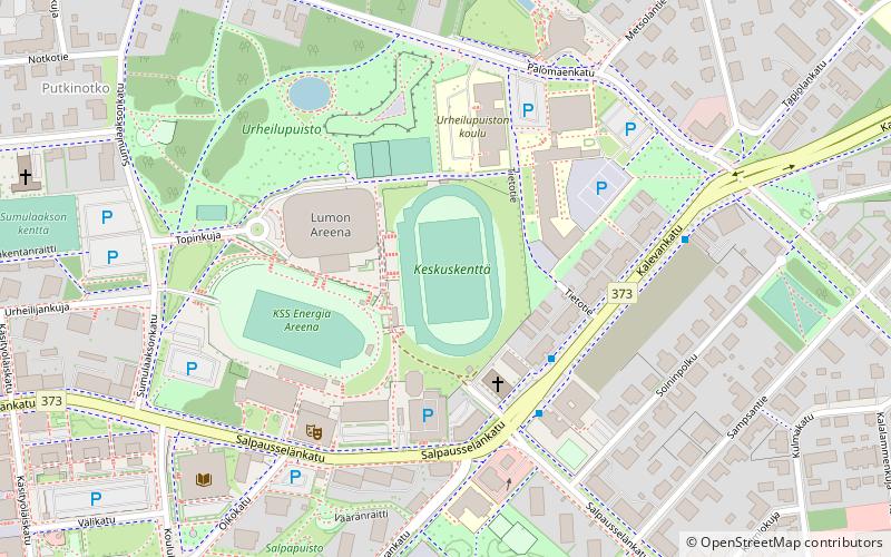
Keskusurheilukenttä is a multi-use stadium in Kouvola, Finland. It is used mostly for football matches and is the home stadium of the bandy club Kouvolan Sudet. The stadium has an occupancy of 12,000. ()
Address
Kouvola
ContactAdd
Social media
Add
Getting there by public transportation
Public transportation stops near this location
- Bus
- Train
 Bus
Bus
- Calculate routeKauppaoppilaitos I 7 min walk
- Calculate routeKouvola Matkakeskus 13 min walk
- Calculate routeUtinkatu I 13 min walk
- Calculate routeTorikatu 15 min walk
- Calculate routeKouvola 13 min walk
Day trips


Frequently Asked Questions (FAQ)
Which popular attractions are close to Kouvolan keskuskenttä?
Nearby attractions include Kouvola Town Hall, Kouvola (11 min walk), Käpylän kirkko, Kouvola (14 min walk), Keskuskirkko, Kouvola (15 min walk), St. Ursula's Church, Kouvola (15 min walk).
How to get to Kouvolan keskuskenttä by public transport?
The nearest stations to Kouvolan keskuskenttä:
Bus
Train
Bus
- Kauppaoppilaitos I • Lines: 12T, 8 (7 min walk)
- Kouvola Matkakeskus (13 min walk)
Train
- Kouvola (13 min walk)