Lauttasaari, Helsinki
Map

Gallery
Facts and practical information
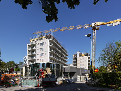
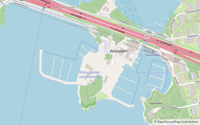
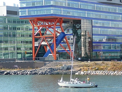
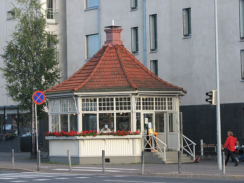
Lauttasaari is an island in Helsinki, Finland, about 3 kilometres west of the city centre. Together with some surrounding unpopulated small islands, Lauttasaari is also a district of Helsinki. With 23,226 residents as of 2017, the island is Finland's second largest by population, after Fasta Åland. Its land area is 3.85 km2. ()
Address
Eteläinen (Lauttasaari)Helsinki
ContactAdd
Social media
Add
Day trips
Lauttasaari – popular in the area (distance from the attraction)
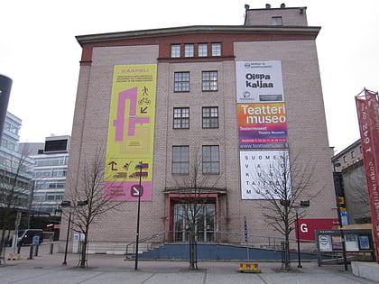
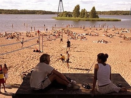
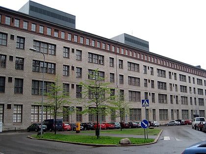
Nearby attractions include: Lauttis, Hotel and Restaurant Museum, Hietaniemi beach, Kaapelitehdas.
Frequently Asked Questions (FAQ)
How to get to Lauttasaari by public transport?
The nearest stations to Lauttasaari:
Bus
Metro
Bus
- Lahnalahdentie • Lines: 104, 112N, 192T, 192V (3 min walk)
- Lauttasaaren kirkko • Lines: 21N, 22, 22B (4 min walk)
Metro
- Lauttasaari • Lines: M1, M2 (8 min walk)
- Koivusaari • Lines: M1, M2 (16 min walk)

