Tampere urban area, Tampere
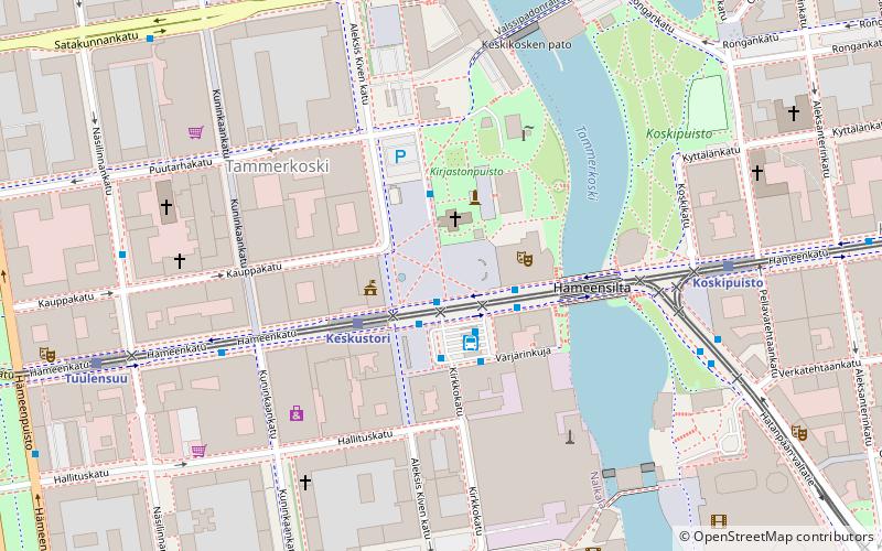
Map
Facts and practical information
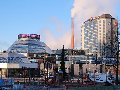
Tampere urban area, is the largest urban area, taajama in the Pirkanmaa region, and the second largest urban area in whole Finland after the Helsinki urban area. At the end of 2018 it had a population of 337 541 with a land area of 277.54 km², resulting in a population density of 1 216.2 inhabitants per km² in the urban area. ()
Address
Tampere
ContactAdd
Social media
Add
Day trips
Tampere urban area – popular in the area (distance from the attraction)
Nearby attractions include: Vapriikki, Koskikeskus, Old Church, Wilhelm von Nottbeck Park.
Frequently Asked Questions (FAQ)
Which popular attractions are close to Tampere urban area?
Nearby attractions include Tampere Market Hall, Tampere (1 min walk), Old Church, Tampere (2 min walk), Hämeensilta, Tampere (3 min walk), Hämeenkatu, Tampere (3 min walk).
How to get to Tampere urban area by public transport?
The nearest stations to Tampere urban area:
Bus
Light rail
Train
Bus
- Central Square (2 min walk)
- Tampere, laituri 5 • Lines: Tampere - Helsinki (11 min walk)
Light rail
- Keskustori B • Lines: 3 (2 min walk)
- Koskipuisto A • Lines: 1, 3 (5 min walk)
Train
- Tampere (11 min walk)
