Rautaharkko, Tampere
Map

Map

Facts and practical information
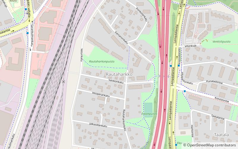
Rautaharkko is a district of Tampere, Finland, located about three kilometers from the its city center. Rautaharkko is bordered on the west by Rantaperkiö, on the east by Taatala and Nirva, on the south by Lakalaiva and on the north by Vihioja and Hatanpää. As of 31 December 2014, Rautaharkko had 533 inhabitants. ()
Coordinates: 61°28'21"N, 23°46'15"E
Address
Tampere
ContactAdd
Social media
Add
Day trips
Rautaharkko – popular in the area (distance from the attraction)
Nearby attractions include: Hatanpää Manor, Tampere Exhibition and Sports Centre, Viinikka, Vihioja.
Frequently Asked Questions (FAQ)
How to get to Rautaharkko by public transport?
The nearest stations to Rautaharkko:
Bus
Bus
- Koivistontie • Lines: 50 (4 min walk)
- Ekankulma • Lines: 50 (7 min walk)


