Keskuskatu, Helsinki
Map
Facts and practical information
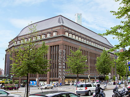
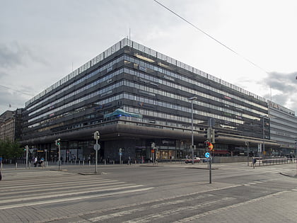
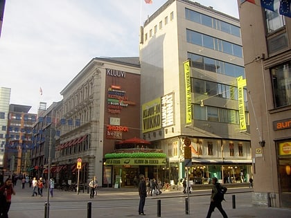
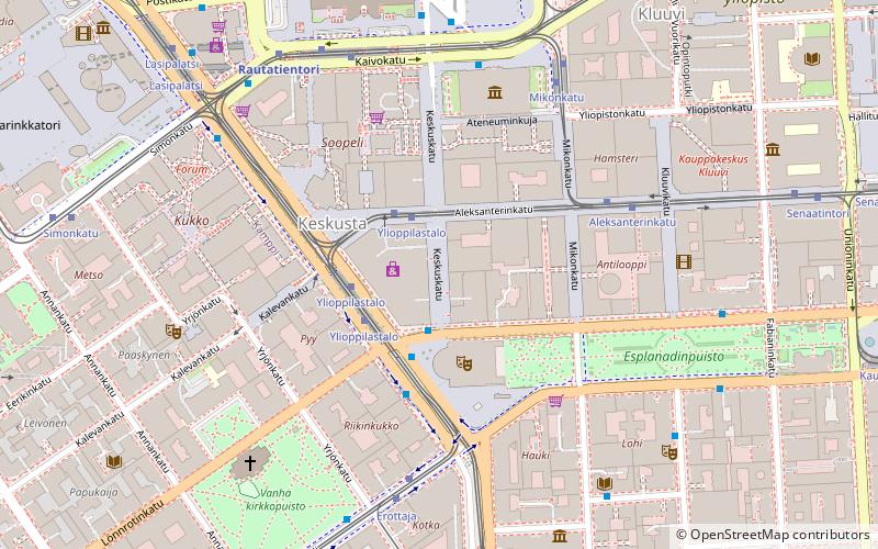
Keskuskatu, meaning "central street", is a two block long walking street in the centre of Helsinki, Finland. Along the street are located, counting from the southern end on Pohjoisesplanadi street, the Stockmann department store, the Rautatalo building, Domus Litonii, WTC Helsinki and the shopping centre City-Center, nicknamed "Makkaratalo". Keskuskatu ends at Kaivokatu opposite to the Helsinki Central railway station. Halfway through the street it is crossed by Aleksanterinkatu. ()
Address
Eteläinen (Vironniemi)Helsinki
ContactAdd
Social media
Add
Day trips
Keskuskatu – popular in the area (distance from the attraction)
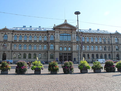
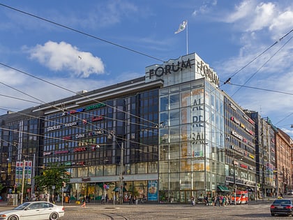
Nearby attractions include: DTM, Ateneum, Forum Shopping Centre, Stockmann.
Frequently Asked Questions (FAQ)
Which popular attractions are close to Keskuskatu?
Nearby attractions include Rautatalo, Helsinki (1 min walk), Swedish Theatre, Helsinki (2 min walk), Three Smiths Statue, Helsinki (2 min walk), Erottaja, Helsinki (3 min walk).
How to get to Keskuskatu by public transport?
The nearest stations to Keskuskatu:
Tram
Bus
Metro
Train
Ferry
Tram
- Ylioppilastalo • Lines: 1, 10, 2, 3, 4, 5, 6, 6T (1 min walk)
- Aleksanterinkatu • Lines: 2, 4, 5, 7 (4 min walk)
Bus
- Erottaja • Lines: 24 (2 min walk)
- Rautatientori, laituri 16 • Lines: 23N (4 min walk)
Metro
- Central Railway Station • Lines: M1, M2 (5 min walk)
- University of Helsinki • Lines: M1, M2 (10 min walk)
Train
- Helsinki (7 min walk)
Ferry
- Kauppatori • Lines: Kauppatori-Korkeasaari, Sininen reitti (10 min walk)
- Olympia Terminal, Helsinki • Lines: Silja Line (17 min walk)
