Trek Zone

Villinki, Helsinki

#337 among attractions in Helsinki

Neighbourhood
Villinki location map
Map

Facts and practical information

Alternative names: Area: 0.66 mi²Coordinates: 60°9'30"N, 25°6'48"E
Address

Kaakkoinen (Laajasalo)Helsinki Finland

ContactAdd
Social media
Add
Day trips

Villinki – popular in the area (distance from the attraction)

Nearby attractions include: Aurinkolahti Beach, Easton Helsinki, Hertsi, Uutela.

  • aurinkolahti beach helsinki3.3 miNE
  • easton helsinki3.7 miN
  • hertsi helsinki3.7 miNW
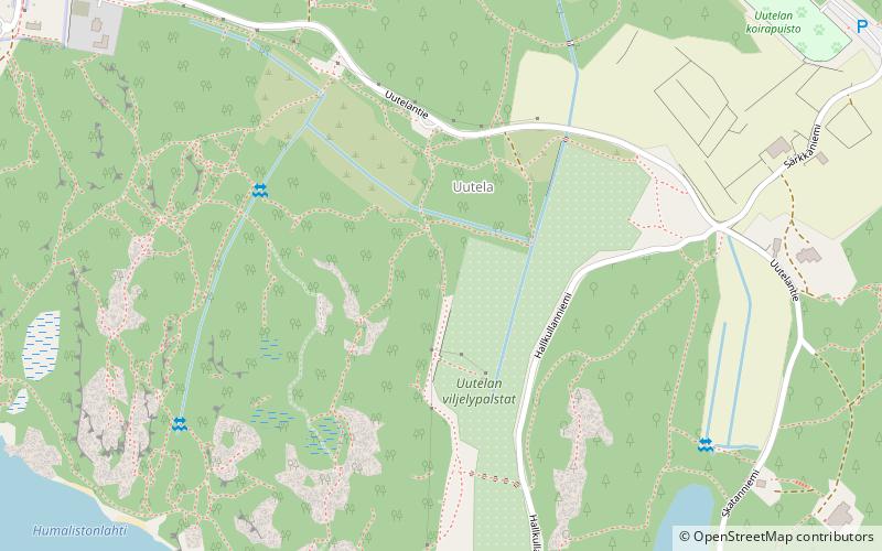
  • uutela helsinki location map
    3.5 miNE
  • kirsikkapuisto helsinki3.4 miNW
  • playground tuhkimo helsinki3.4 miNW
  • cirrus helsinki3.5 miN
  • herttoniemen kartano helsinki3.3 miNW
  • herttoniemi helsinki3.6 miNW
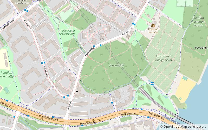
  • puotila helsinki location map
    3.6 miN
  • vartiosaari helsinki2.2 miNW

Frequently Asked Questions (FAQ)

How to get to Villinki by public transport?

The nearest stations to Villinki:

Ferry
  • Kivisaari • Lines: Itäinen saaristoreitti (30 min walk)

Bus
  • Kellaripellonpolku • Lines: 85, 85B, 85N (33 min walk)
  • Puuskakuja • Lines: 85, 85B, 85N (34 min walk)

Where to next? Visit southern finland Southern Finland region page or discover the top tourist attractions in Finland.