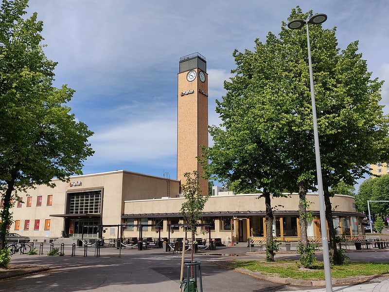
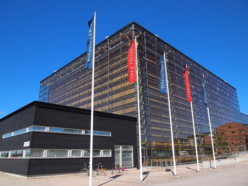
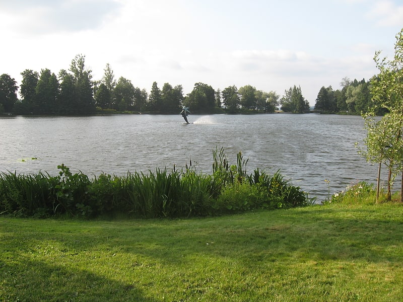
Kartano, Lahti
Gallery (1)
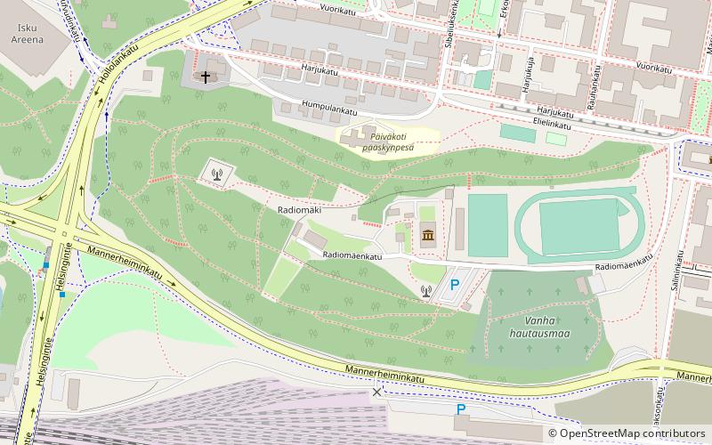
Map
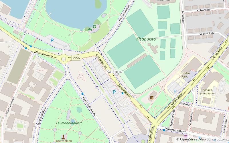
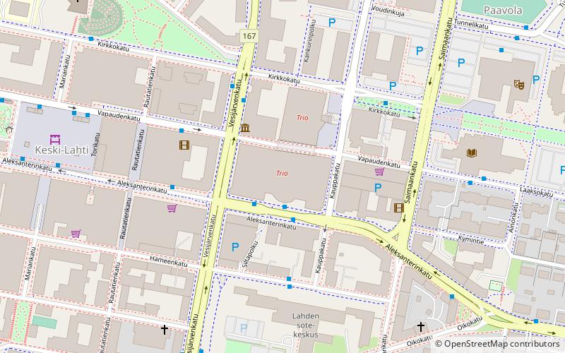
Map
Facts and practical information
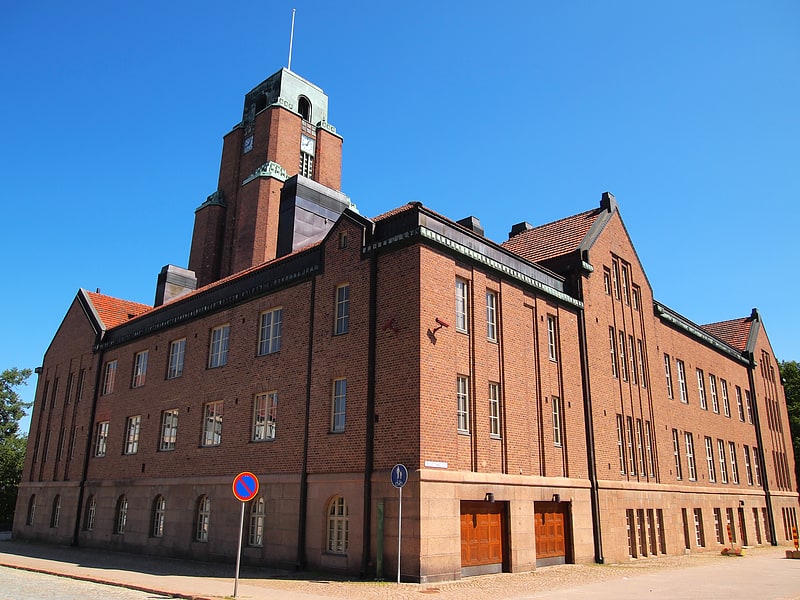
Kartano is the 2nd district of the city of Lahti, in the region of Päijät-Häme, Finland. It borders the districts of Niemi in the north, Kiveriö in the east, Keski-Lahti in the south, Salpausselkä in the southwest and Jalkaranta in the west. ()
Address
Lahti
ContactAdd
Social media
Add
Getting there by public transportation
Public transportation stops near this location
- Bus
- Train
 Bus
Bus
- Calculate routeFellmanninkatu 5 min walk
- Calculate routeSvinhufvudinkatu 6 min walk
- Calculate routeKonserttitalo 7 min walk
- Calculate routeKauppatori C 7 min walk
- Calculate routeLahti 20 min walk
Day trips


Frequently Asked Questions (FAQ)
Which popular attractions are close to Kartano?
Nearby attractions include Pikku-Vesijärvi, Lahti (6 min walk), Hirvi, Lahti (7 min walk), Church of the Cross, Lahti (8 min walk), Lanu-puisto, Lahti (9 min walk).
How to get to Kartano by public transport?
The nearest stations to Kartano:
Bus
Train
Bus
- Fellmanninkatu • Lines: 1, 2 (5 min walk)
- Svinhufvudinkatu • Lines: 1, 2, 40B, 41 (6 min walk)
Train
- Lahti (20 min walk)